|
|
|
VII. Save/Export Features

Vectored Archaeological Features - Channels from Aleipata, Upolu
In this tutorial you will learn how to Save/Export the features you have drawn.
This is a very important part of the recording procedure. This is where all your hard work is saved so that it can be submitted to CSS in the next step. Without this step ALL your work will be lost when you exit/close the map page you are working on.
This step can be done several times while you are working on a particular map. Saving the map frequently guarantees that none of your work will be lost because of a computer “malfunction”. Each time you save, your “new” work is combined with your previous work and saved with a different file name. The last file (with the highest number - explained below) contains ALL your work and is the only one that needs to be submitted/sent to CSS (Tutorial VIII), the others (earlier, incomplete files) can be deleted later.
Before continuing here is a little background on the file that is saved by the Samoan Armchair Archaeologist web page application (the map you draw the vectors/lines on).
As explained in the Online Application Layout #7. Export Features section of this tutorial:
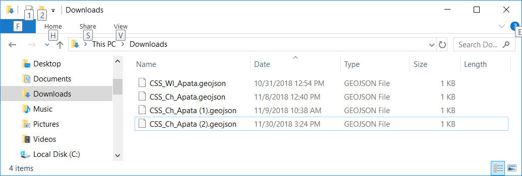
The Export Features button  saves the features/vectors you have drawn on the LiDAR image to a file in the "downloads" directory of your computer (C:\Users\username\Downloads). saves the features/vectors you have drawn on the LiDAR image to a file in the "downloads" directory of your computer (C:\Users\username\Downloads).
The file name appears in the following format:
CSS_featuretype_mapsection(#).geojson
[eg: CSS_Ch_Apata(1).geojson]
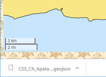
After saving, the name of the file appears in the lower left corner of the web browser screen.

The ".geojson" (geojason) file is a text file containing information about the vectors that have been drawn. This file can be loaded into QGIS (a free Global Information Systems program that is available at: qgis.org) to display the features/vectors that have been drawn.
Each time you save/export the features, the # increases, therefore the highest number is the last file you saved/exported.
This geojason file is a “text” file that can be view by any “Text Editor” (Notepad, MS Word, etc.) it contains information that can be used to draw the vector/line when opened with the proper program (ie: QGIS). It is not a picture of the features/vectors you have drawn, it is the vector information. Vectors are not pictures, but rather the numeric information used to draw pictures.

Geojason File : CSS_Ch_Apata(1).geojson
Steps for Exporting Features:
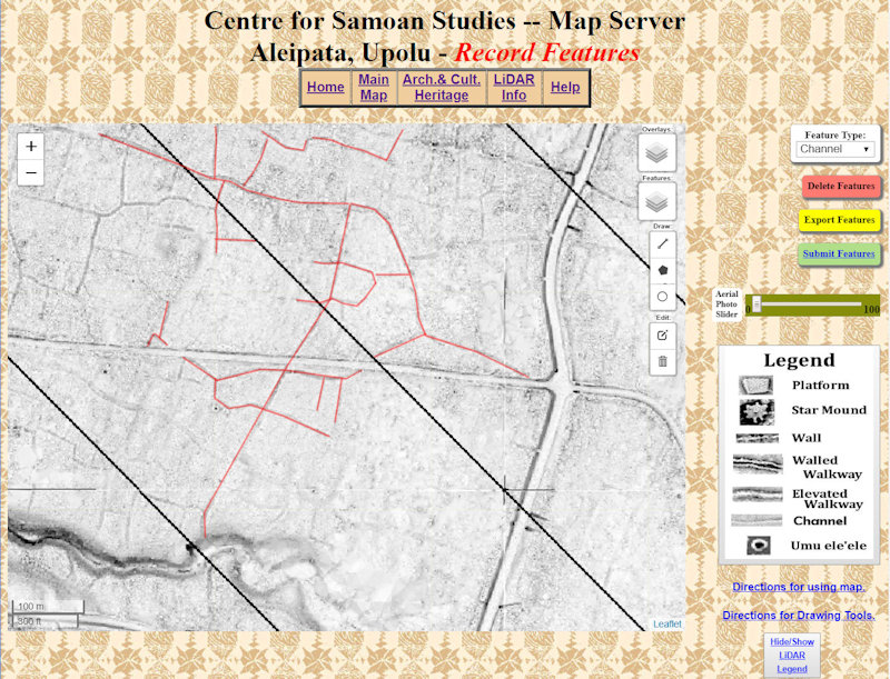
1. Select the yellow Export Features button  on the right side of the web page. As mentioned in the tutorial Online Application Layout #5. Feature Type, make sure you have selected the appropriate on the right side of the web page. As mentioned in the tutorial Online Application Layout #5. Feature Type, make sure you have selected the appropriate  for the features/vectors you have drawn before trying to Export. for the features/vectors you have drawn before trying to Export.
2. ALL the features you have drawn are now saved to your “downloads” directory (see above).

Steps to Save a Picture of the Features:
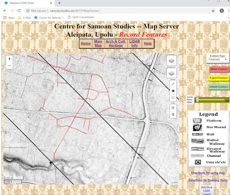
The following steps will let you save a “picture” of the vectors that you have drawn so that they can be viewed as a picture in your web browser or any drawing/picture viewing program.
In this example Windows Paint/Paint 3d is used.
1. With the web page/map containing the features/vectors you have just drawn selected on the screen hold down the [Alt] key and press the [Print Screen] key (upper-right row on keyboard).
This places a picture of the web page into memory.
2. Open the Paint program.
3. Start a new drawing.
4. Hold down the [Ctrl] (Control) key and press the letter [v].
5. A copy of the web page should appear in the drawing (Paint) program.
6. Save it with an appropriate name [ eg: CSS_Ch_Apata(5).jpg ]
7. You now have a picture of your work to view in the future.
As with the geojason files you may do this as often as you wish.

|
|