|
|
|
VIII. Submitting Vectored Archaeological Features to CSS
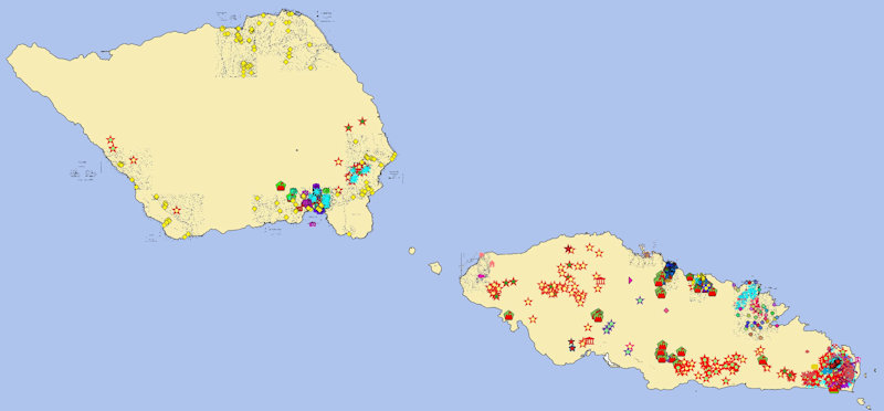
Archaeological Features from Utu
The final step in recording the archaeological features you have found on the LiDAR images is to submit the vectors to CSS so that they can be added to Utu and become part of the ever expanding knowledge base of intellectual treasures which is Samoa’s evolving cultural heritage.
Now that you have Saved/Exported your data into the .geojson file format (Tutorial: VII) it can be easily sent to CSS. The steps on how to do that are listed below (the following steps are for MS Outlook, but similar steps should work for any email program):
|
|
1. Click on the green Submit Features button  on the right side of the browser window. on the right side of the browser window.
This should open MS Outlook (your email program).
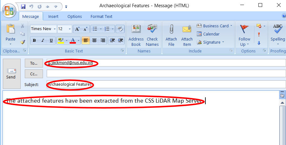
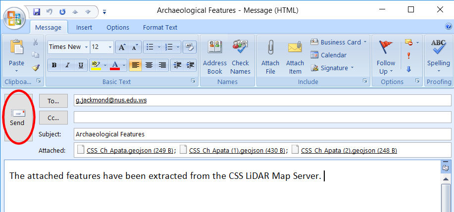
2. Notice that the following information has already been filled in:
a. “send to” address (g.jackmond@nus.edu.ws).
b. “subject line” (Archaeological Features).
c. “email text”
(The attached features have been extracted from the CSS LiDAR Map Server.)
Additional text may be added if you care to do so.
3. Attach the .geojson file or files you wish to submit (largest #):
a. Select Attach File  from the Include Group on the menu. from the Include Group on the menu.
b. Windows explorer should open
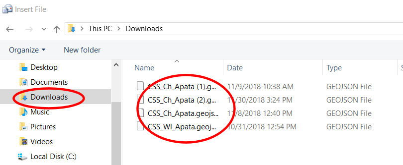
c. Select the Downloads directory
d. You should see the list of CSS_. . . . .geojson files you have saved.
e. Select the file or files you wish to submit
To select more than one file, hold down the [Ctrl] key while selecting.
f. Select [Insert]

g. The files appear in Attached:
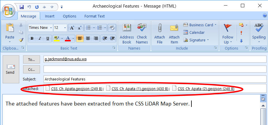
4. Send the email.
|
This process can be done as need, corrections and/or additions can be made, and comments may be added to the files sent.
The information you have submitted will be processed as quickly as possible and your submissions will become part of Utu.
And, Thank You for a job well done.
|
|