|
What is on the Main Map page of this web site?
|
|
|
The Main Map page is the menu (map) where you access the LiDAR images of Samoa.
|
|
|
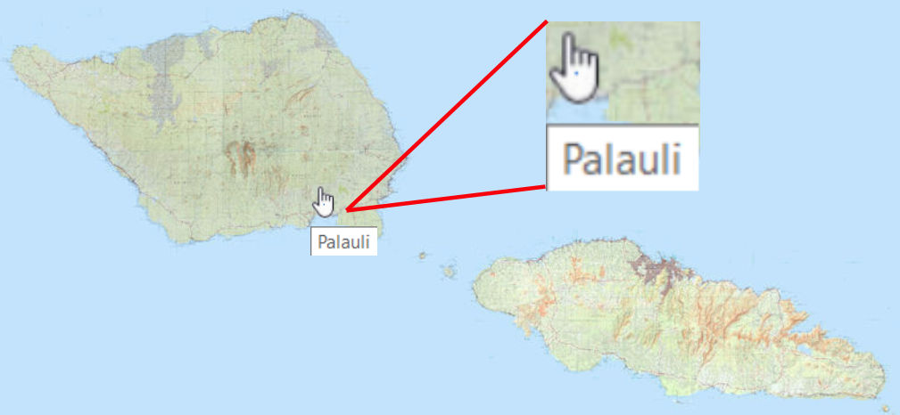
Area Selection Map/Menu
Select Area on map to view LiDAR
[Show/Hide Archaeolopgical Features]
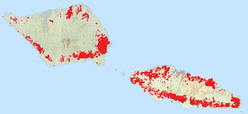
Archaeological Features
|
•
|
On the Main Map page you will see a clickable image map of Samoa. (See the image to the left.)
|
|
|
•
|
Simply place the courser (which changes from an arrow to hand) over the area on the map you wish to explore.
|
|
|
•
|
Notice the area name that appears in a white box below the hand. This gives you an idea of which area you are selecting. (See insert on map to left.)
|
|
|
•
|
Upon clicking the left mouse button you are taken to the LiDAR map for the area you selected (be patient, the speed at which the LiDAR image appears will depend on the speed of your internet connection).
|
|
|
•
|
A map with or without the locations of viewable Archaeological Features, shown in red, can be displayed by selecting the [Show/Hide Archaeolopgical Features] link under the Select Area on map to view LiDAR text above the map. (See the image to the left.)
|
|
|


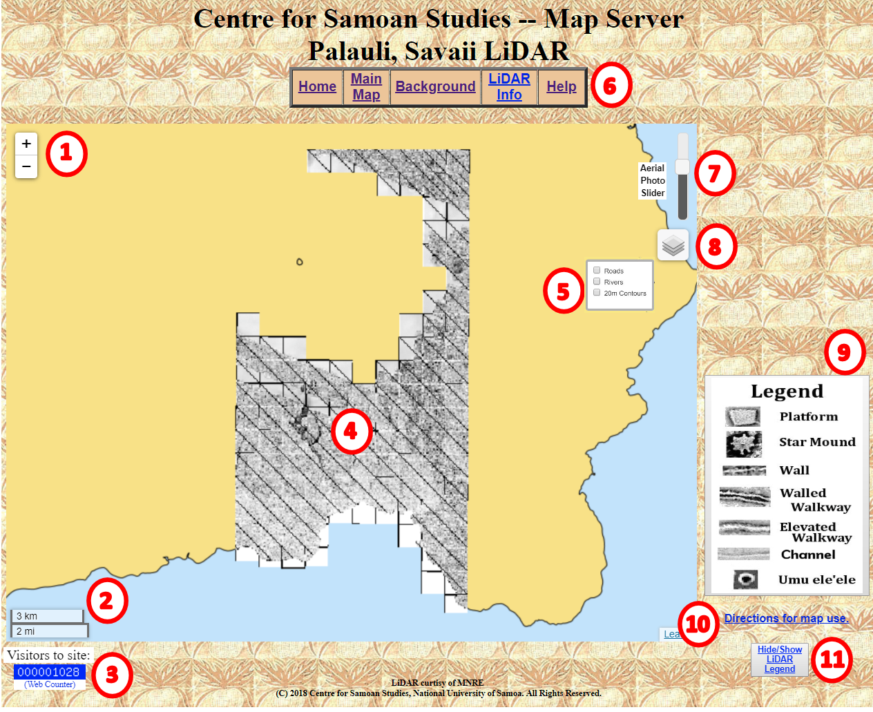
 allows you to zoon in and out on the LiDAR Map to get a better view of the area. The map can be moved around on the screen by using the left mouse button and the hand
  to drag the image.
 displays the scale for your current map zoom level. The scale changes as you change the zoom level of the map to give you an idea of the size of the object you see on the screen.
 displays the number of times that the LiDAR Maps have been viewed. This gives us some idea of how useful/used the web page is.
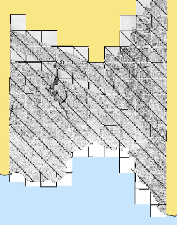
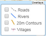
 it is turned on and can be seen, if their is no check mark
  it is turned off and does not display. The check is turned on/off with a left mouse click.




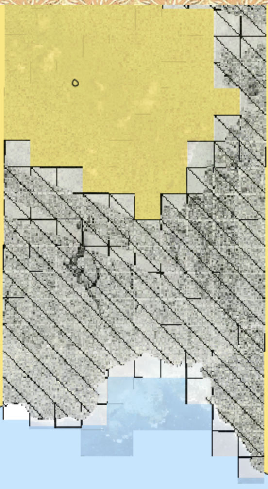
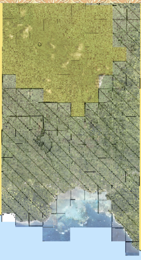
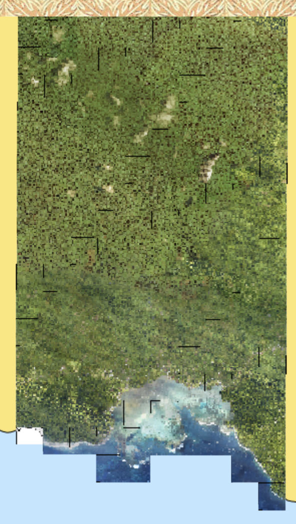
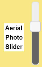 is a slider that allows you to overlay an aerial photo/image over the top of the current LiDAR image.
 allows you to access the Layer List (
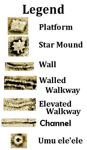

 allows you to hide or show the LiDAR Legend (