Walls, a ubiquitous feature of the modern Samoan plantation, appear to have been none the less so in ancient times. Today walls range in size from one meter tall, single rock wide stacks of stone to quite substantial 2 meter tall walls 50 or more centimeters wide. It is assumed that many of these stone walls were built in the past and are still in use today. Even so, over time many ancient walls have been reduced to a mere semblance of the glorious past leaving, in some places, only a meager alignment of stones or a crumbled pile of debris. It is assumed that walls in the past served the same purpose that they serve today, dividing the land into agricultural and village plots. Walls appear to have been much more prevalent in ancient villages then they are in today’s modern villages. As one looks at the maze of walls seen in the plantations of today one needs to keep in mind that this is an accumulation of hundreds or thousands of years of use, reuse, and movement across the land. All of these structures (walls and also platforms, walkways, etc) may not be contemporary. In the following photos we have tried to make the reader familiar with what walls look like not only on LiDAR, but also at ground level and in aerial photos. |
|
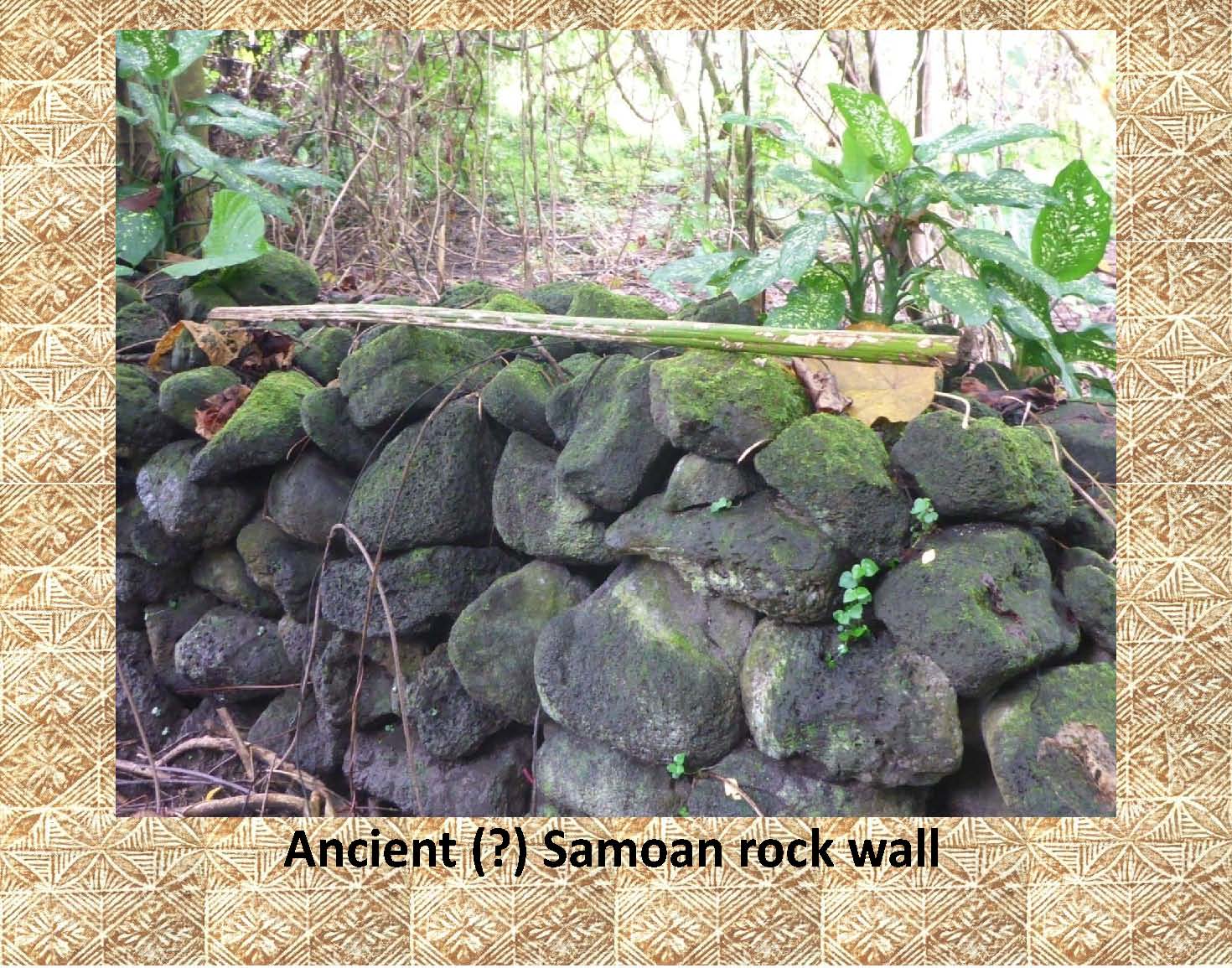
This photograph of a substantial stone wall deep in the plantation gives us no direct clue as to its age. It may have been built only yesterday or have been built and rebuilt for hundreds of years. But, note the moss growing on the top of the wall that does seem to indicate that this part of the wall at least is probably not of recent construction. Also, in the next photo, note the mortar less stone construction that is typical of Samoan walls. |
|
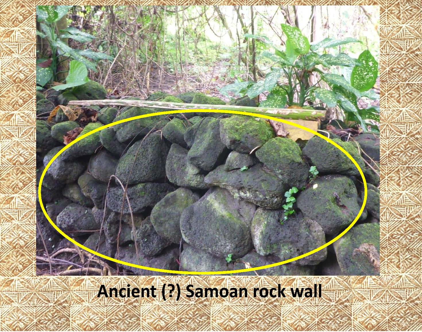 |
The mortar less stone construction, in the above wall, that is typical of Samoan walls has been marked in this photo. |
|
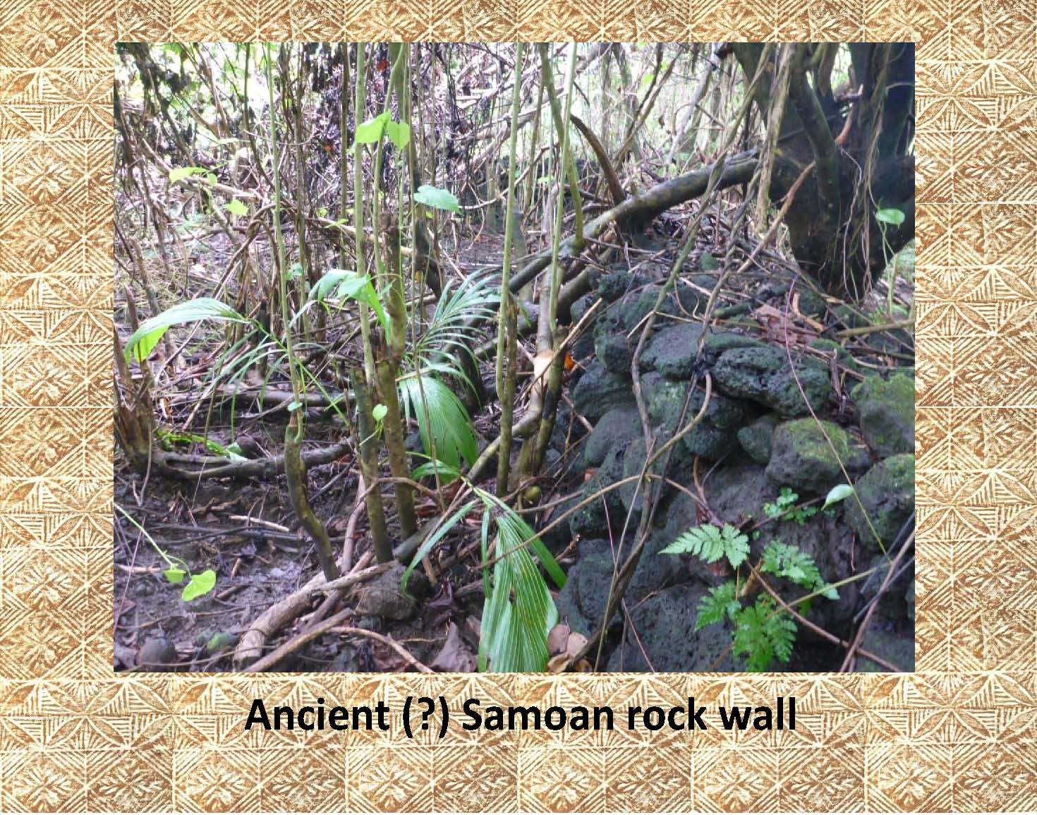 |
Here is a similar type wall shown from another angle emphasizing the width of some stone walls. |
|
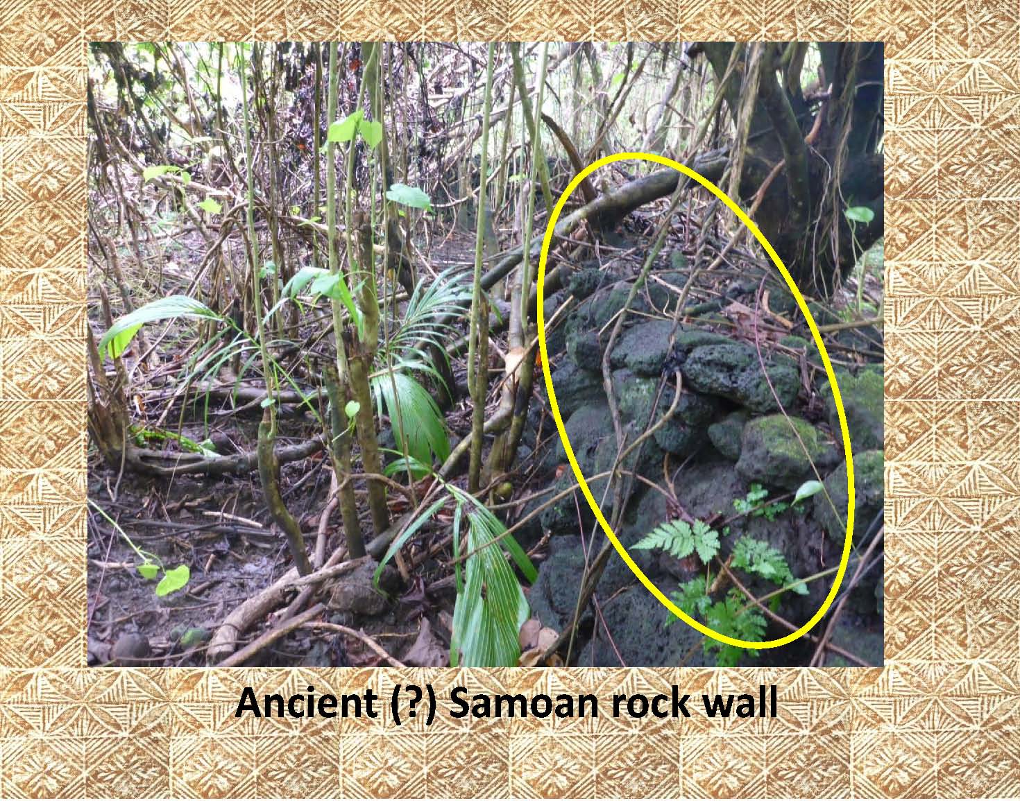 |
Again the mortar less stone construction has been highlighted. |
|
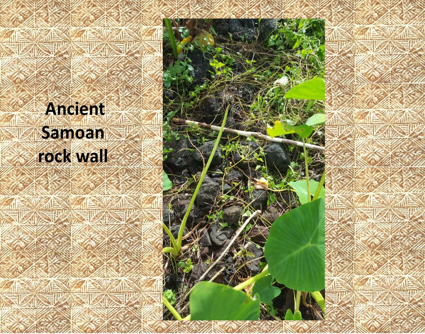 |
Here is what is commonly found when the stones from an old wall have been repurposed or removed to be used elsewhere. Notice the black and white 1 meter photo scale in the center of the photo. This stone alignment is no more than a few stones high. |
|
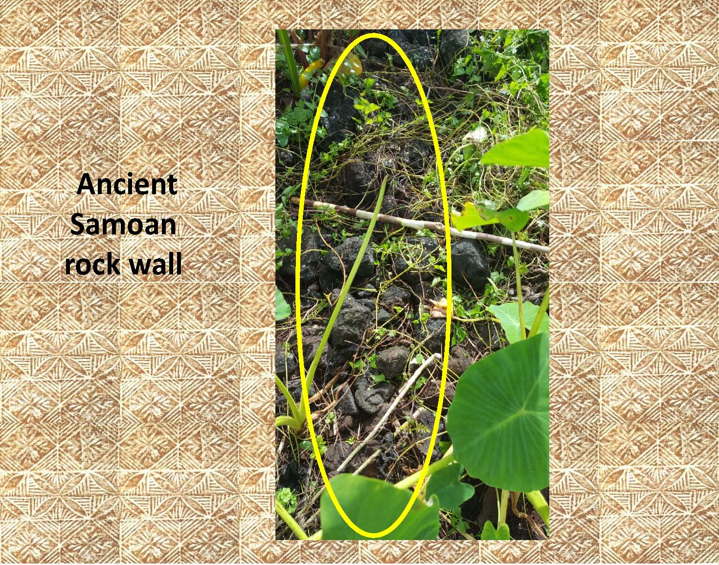 |
In this photo the wall from above has been highlighted. |
|
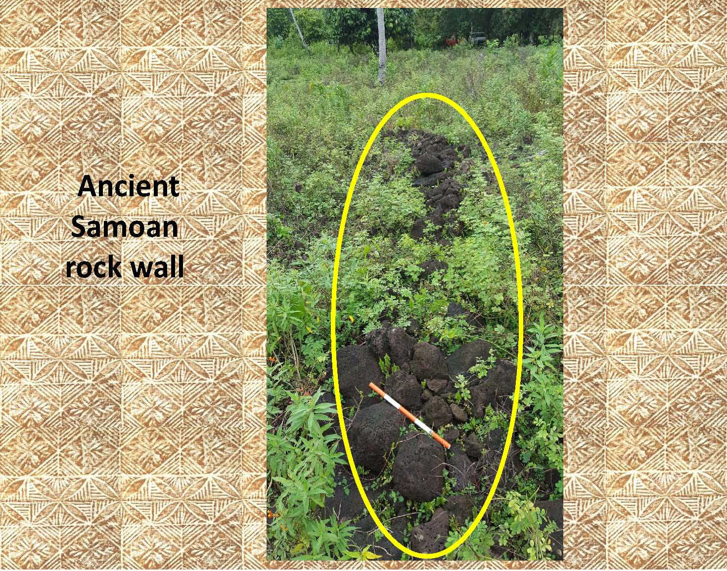 |
This is another example of presumably ancient stone wall, or what is left of it. Notice the orange and white 1/2 meter photo scale in the foreground of the photo. |
|
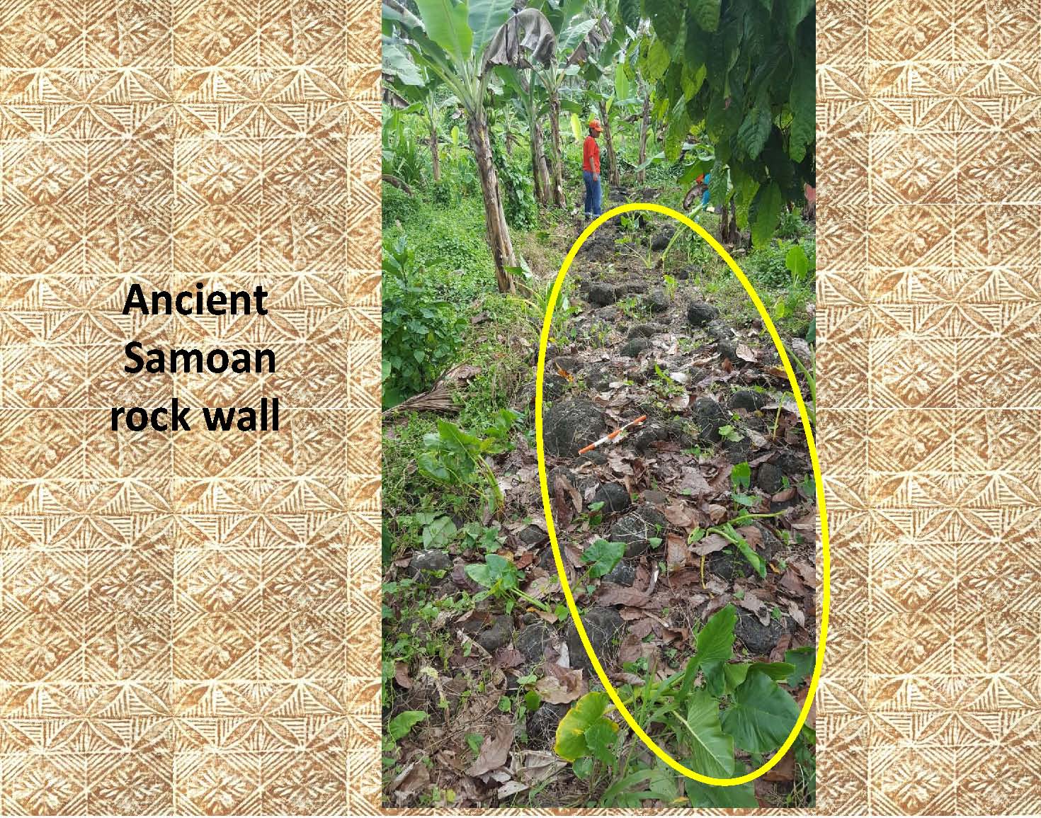 |
In this photo, even less is left of what appears to have been a stone wall of unknown antiquity. Notice the person in the background of the photo for scale. |
|
|
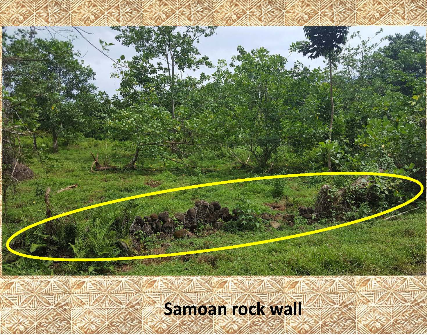
This stone wall, though obviously used until recently, may be the reminisce of an ancient wall. |
|
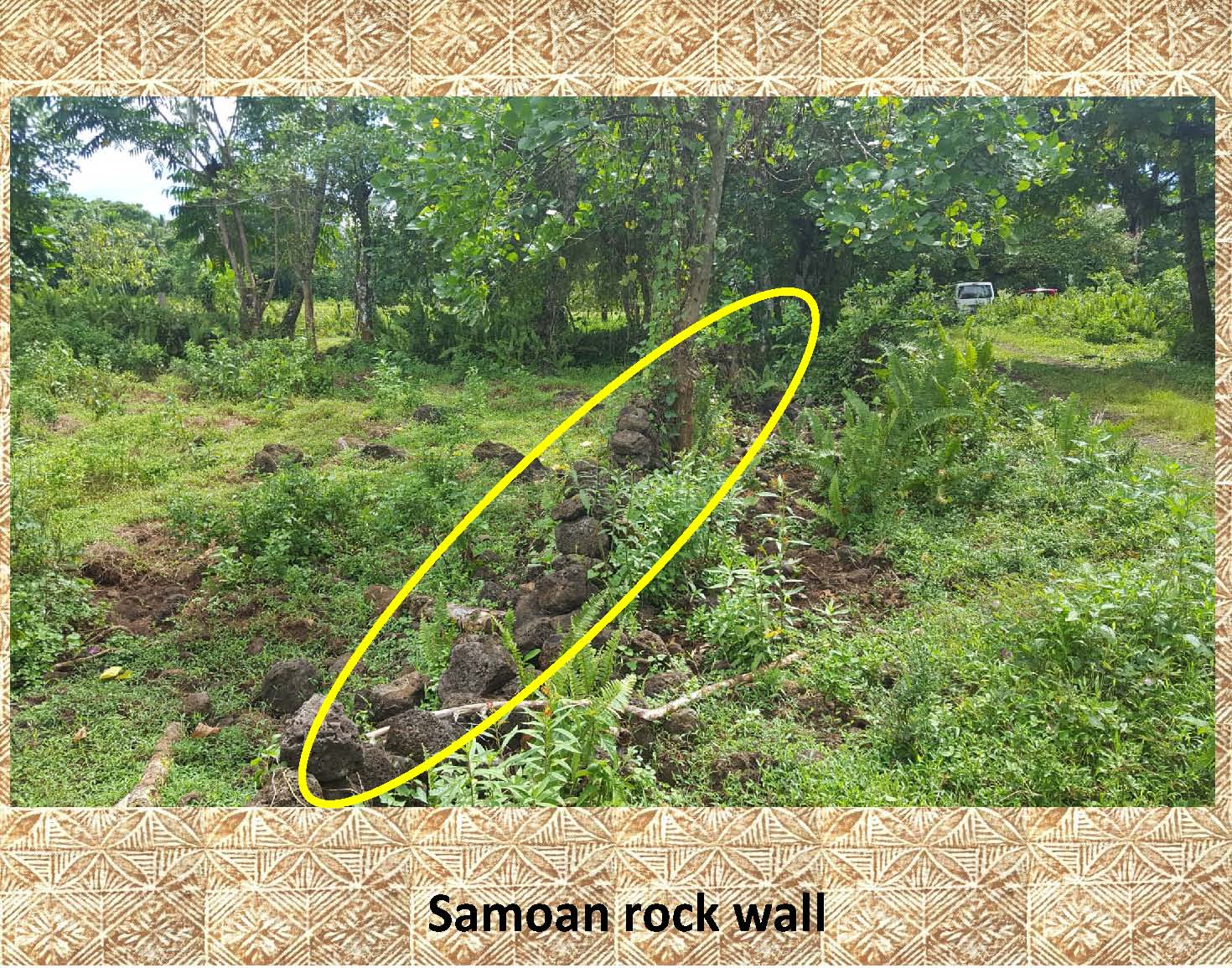 |
Here is another example of continued use or possible reuse of a stone wall. |
|
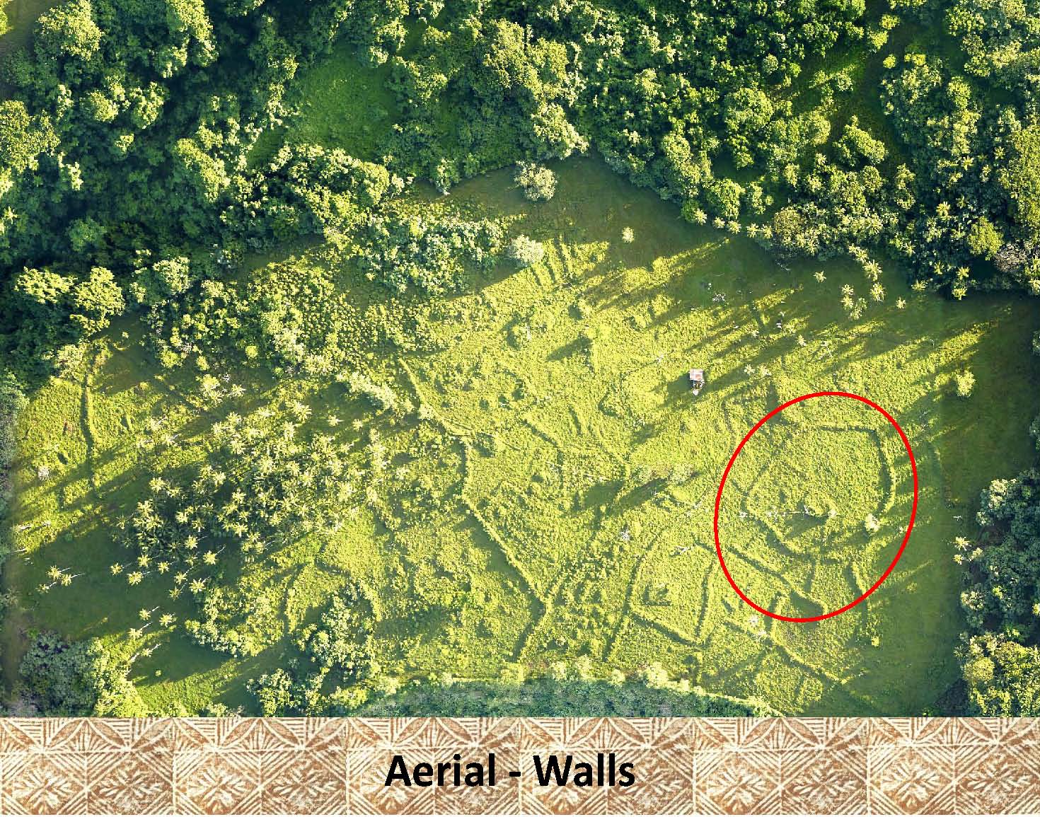 |
In this aerial photo, where the vegetation has been cut back, it is easy to see the patterns made by the ancient walls. An enclosure has been marked in red. Notice the linear patterns formed by the other walls easily visible in this aerial photo. |
|
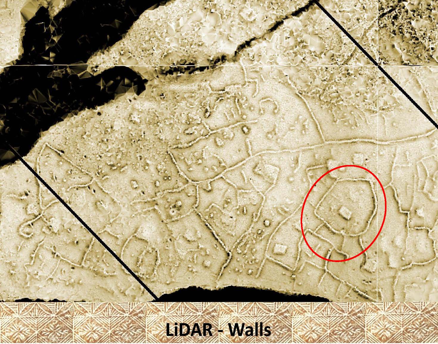 |
In this LiDAR image of the same area as above even more linear alignments, walls, can be seen. |
|
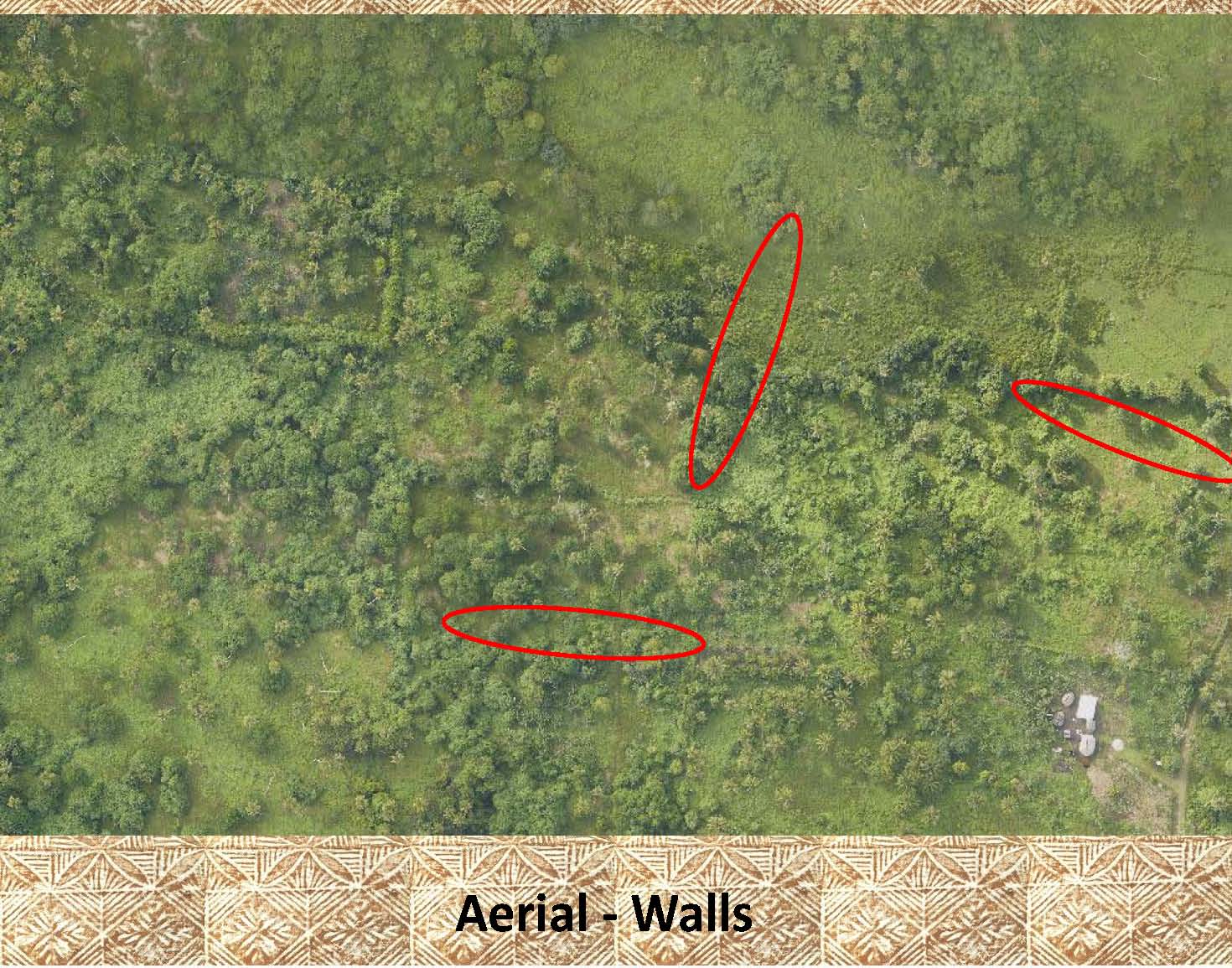 |
As seen in this aerial photo, most of the time walls are difficult to pick out even when highlighted as in this photo. |
|
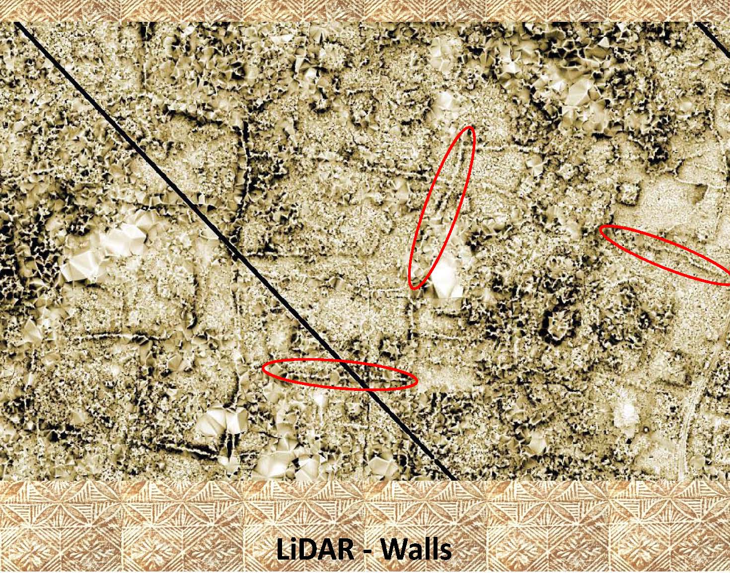 |
This is the same area as above shown in a LiDAR image. Note not only the ease with which the marked walls can be seen, but also the numerous other walls in the image. |
|
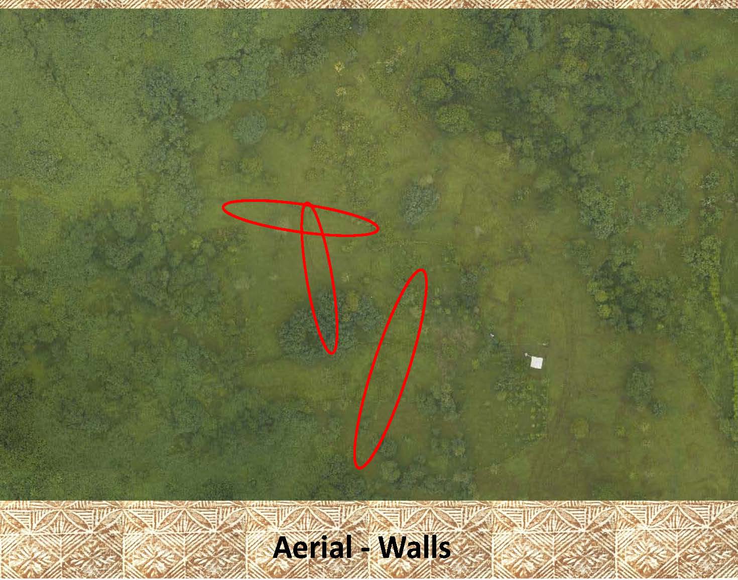 |
Again, it is difficult (if not impossible) to see the walls marked on this aerial photo. |
|
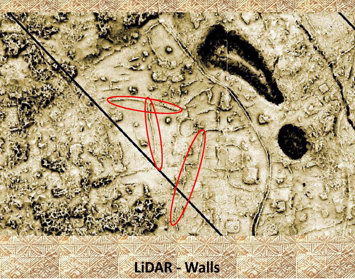 |
In this LiDAR image, of the same area as above, again the walls are easily seen even without the highlighting. Notice the additional walls in the area, and the walled walkway to the right of the marked walls. |
|
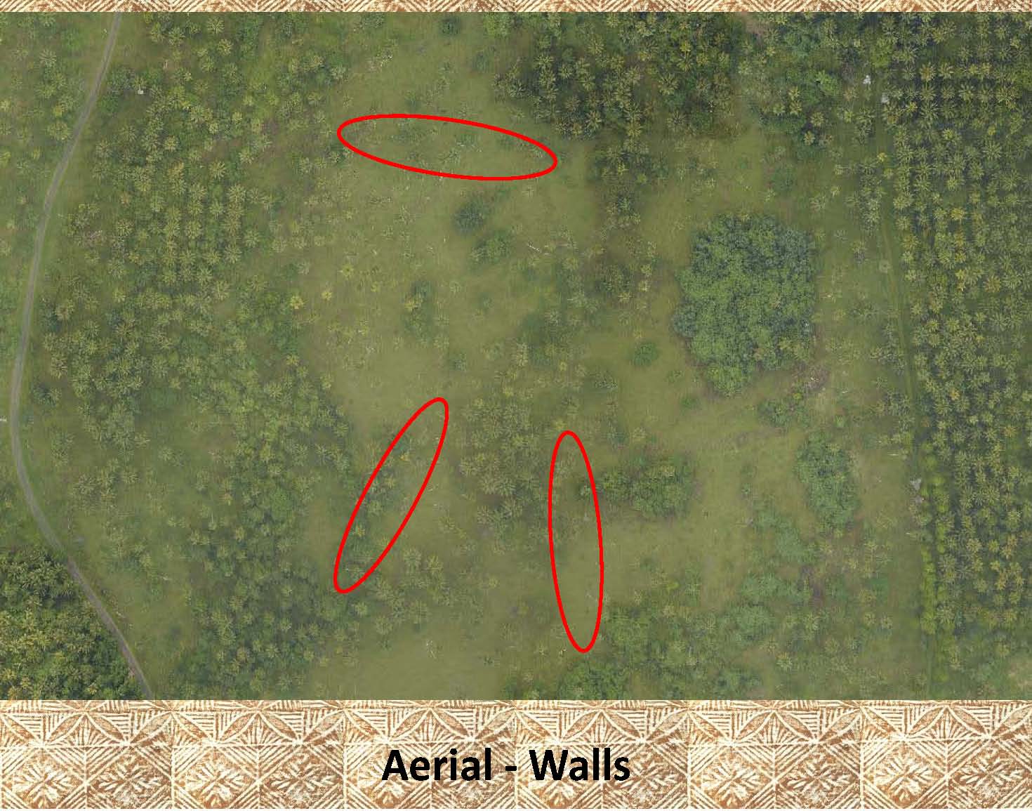 |
Once more, it is difficult to see the stone walls, even when marked. |
|
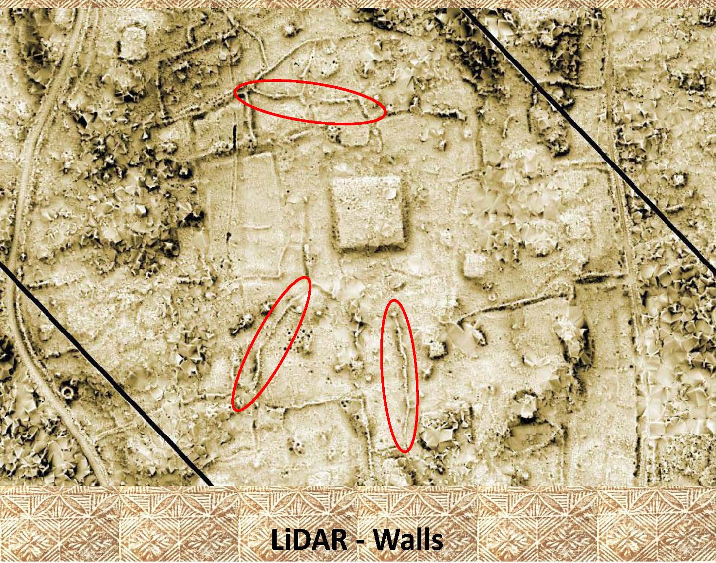 |
As has been the case before, this LiDAR image makes it easy to pick out the marked walls, and even those that are not highlighted. Notice the large (50 x 50 meter) platform in the center of the image, and the numerous features around it. |
|
|
References: Additional information about drainage channels, ditches, can be found in the following publication: Green and Davidson (1969) Archaeology in Western Samoa, Volume 1, P 38 Green and Davidson (1974) Archaeology in Western Samoa, Volume 2, Pp 238-240 Jennings, etal (1980) Archaeological Excavations in Western Samoa |