“The pits may have served a variety of functions, but one of the more obvious is as stores for fermented breadfruit. This is based on analogy with descriptions of such pits in the ethnographic and historical sources, a continuity of occurrence of pits of this type throughout the Samoan sequence, and their wide distribution in both early and late archaeological contexts throughout tropical Polynesia.” (G&D 1969 p121) Other possible uses, or causes, for pits range from their use as borrow pits, as quaries for construction soil (G&D 1969 p205), to water retention ponds or possibly the result of uprooted trees. The true use, or cause, of most pits is still very much an unanswered question. At present a food storage function for the larger rectangular or oval pits would seem to be an acceptable explanation but one that is still subject to verification. In the following photos we have tried to make the reader familiar with what these pits look like not only on LiDAR, but also at ground level and in aerial photos. |
|
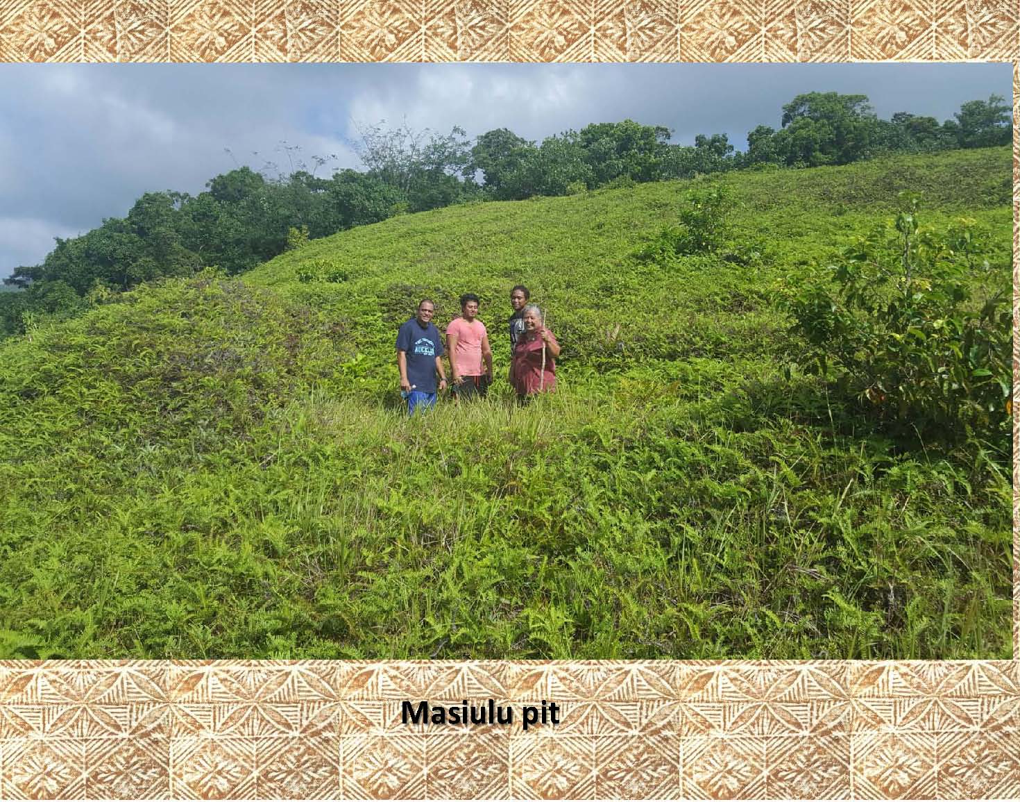
In this photo 4 members of our survey team are standing in a large oval pit about ˝ meter deep that is 3 meters wide and 6 meters long. Behind them and to the left is a pile of “spoil dirt” that appears to have come from the pit. This type of pit may have been used to store fermented breadfruit in the past. |
|
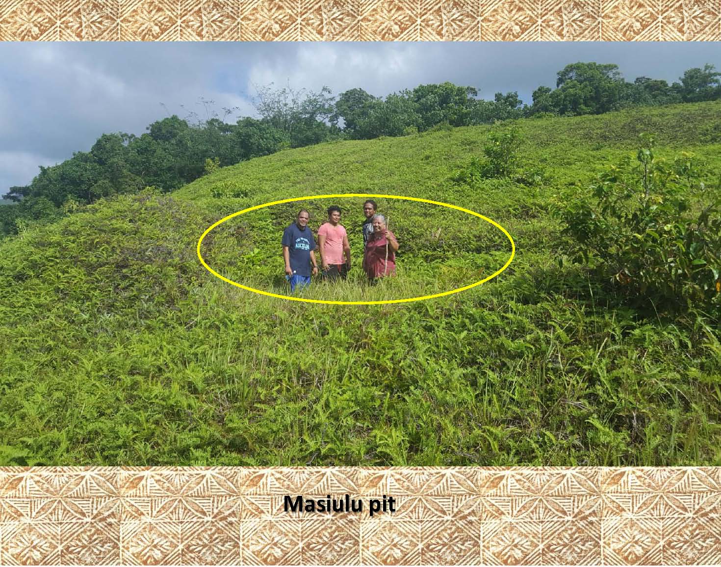 |
In this picture the pit has been marked. |
|
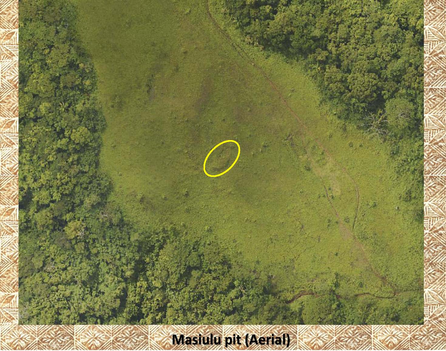 |
This aerial photo has the same pit highlighted. If you look up and to the left you can see another larger pit. These pits were found on a hillside north of the village of Samusu, Upolu. |
|
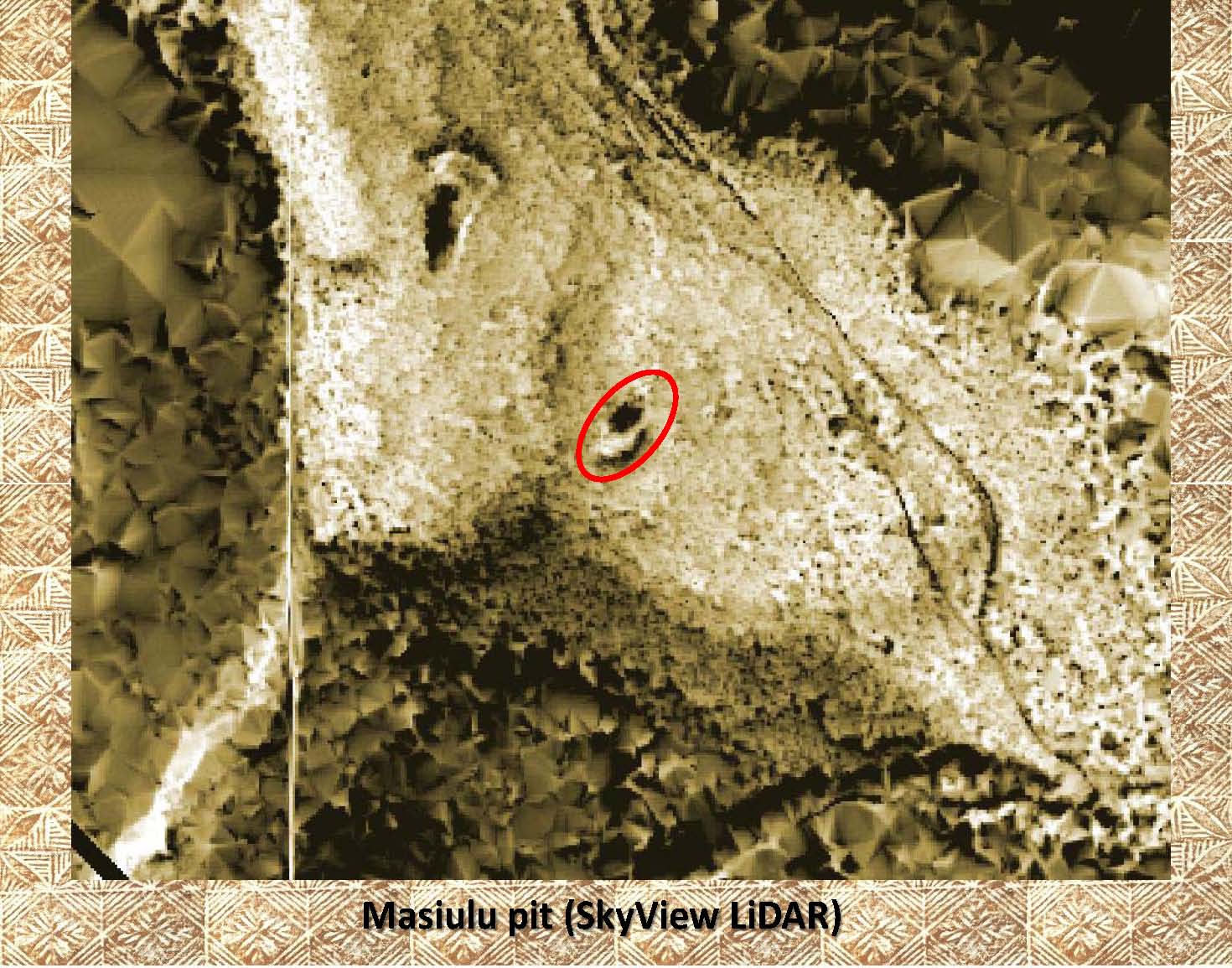 |
It is much easier to see the 2 pits in this LiDAR image of the same area as the above aerial photo. In the lower pit (highlighted in red) you can see the “spoil dirt” in the lower part of the marked area. Again, note the second, larger pit above and to the left of the marked pit. The “spoil dirt” for the larger pit can be seen above it. It is about twice the length of the lower one. |
|
|
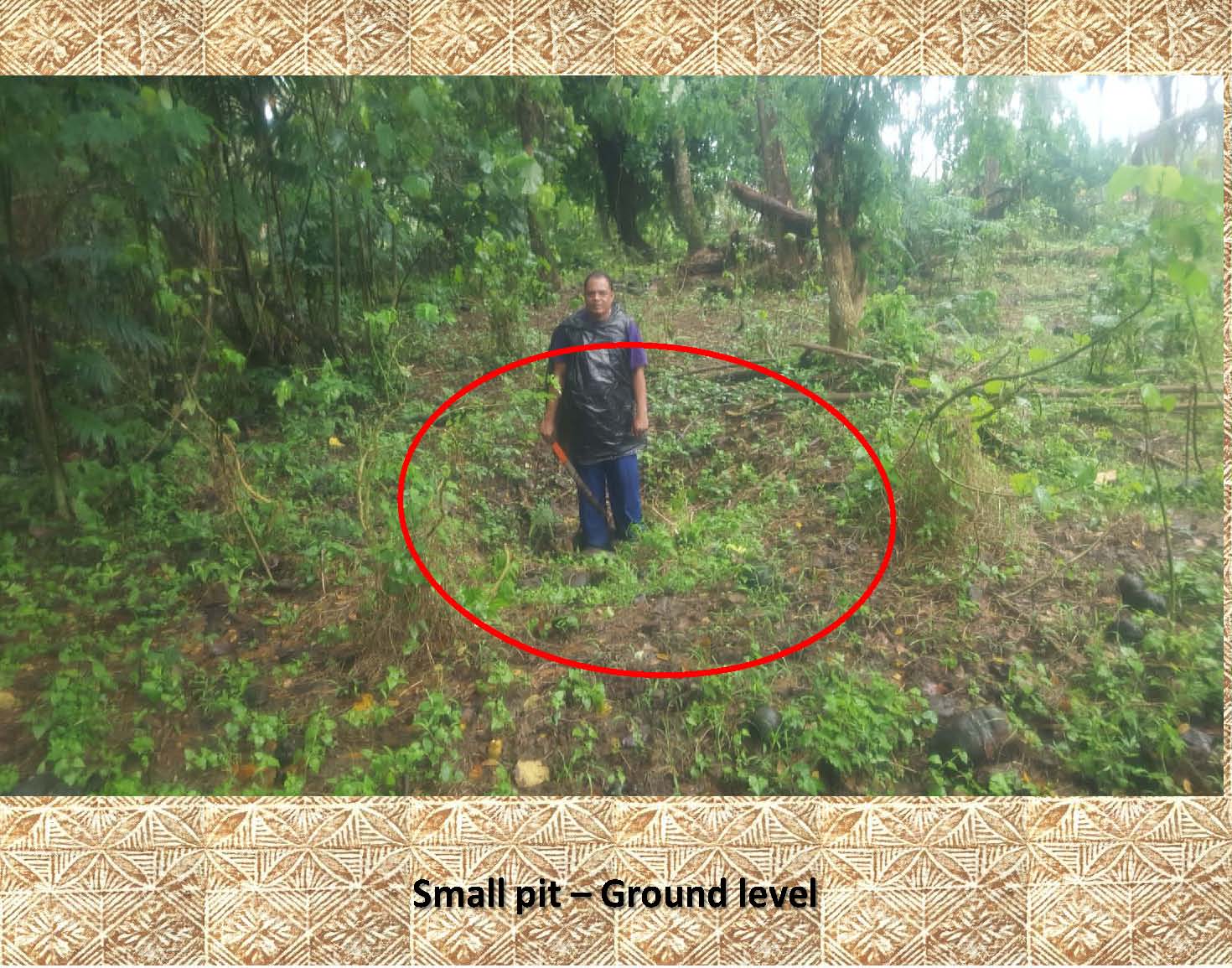
Here is a photo of a much smaller pit (highlighted) of unknown use. Notice it lacks the raised rim common for an earth oven (umu ele’ele) (see tutorial #6 for information on earth ovens). This pit is much smaller than the ones above. |
|
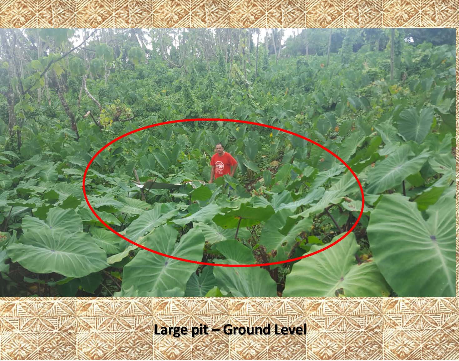 |
This photo shows a much larger pit, approximately 15 meters in diameter and over 2 meters deep. |
|
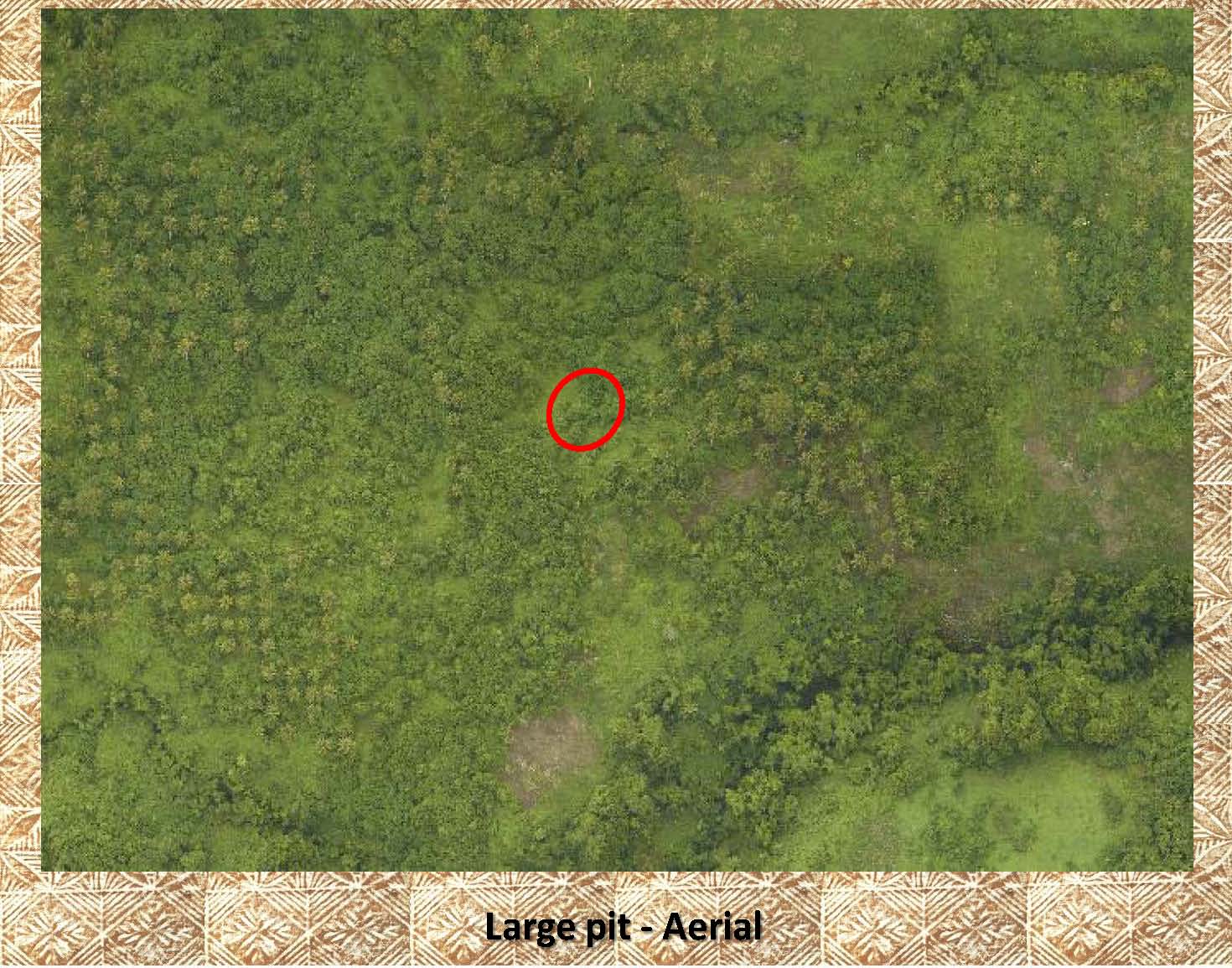 |
This is an aerial photo of the pit above. The pit has been highlighted as it is difficult to see. |
|
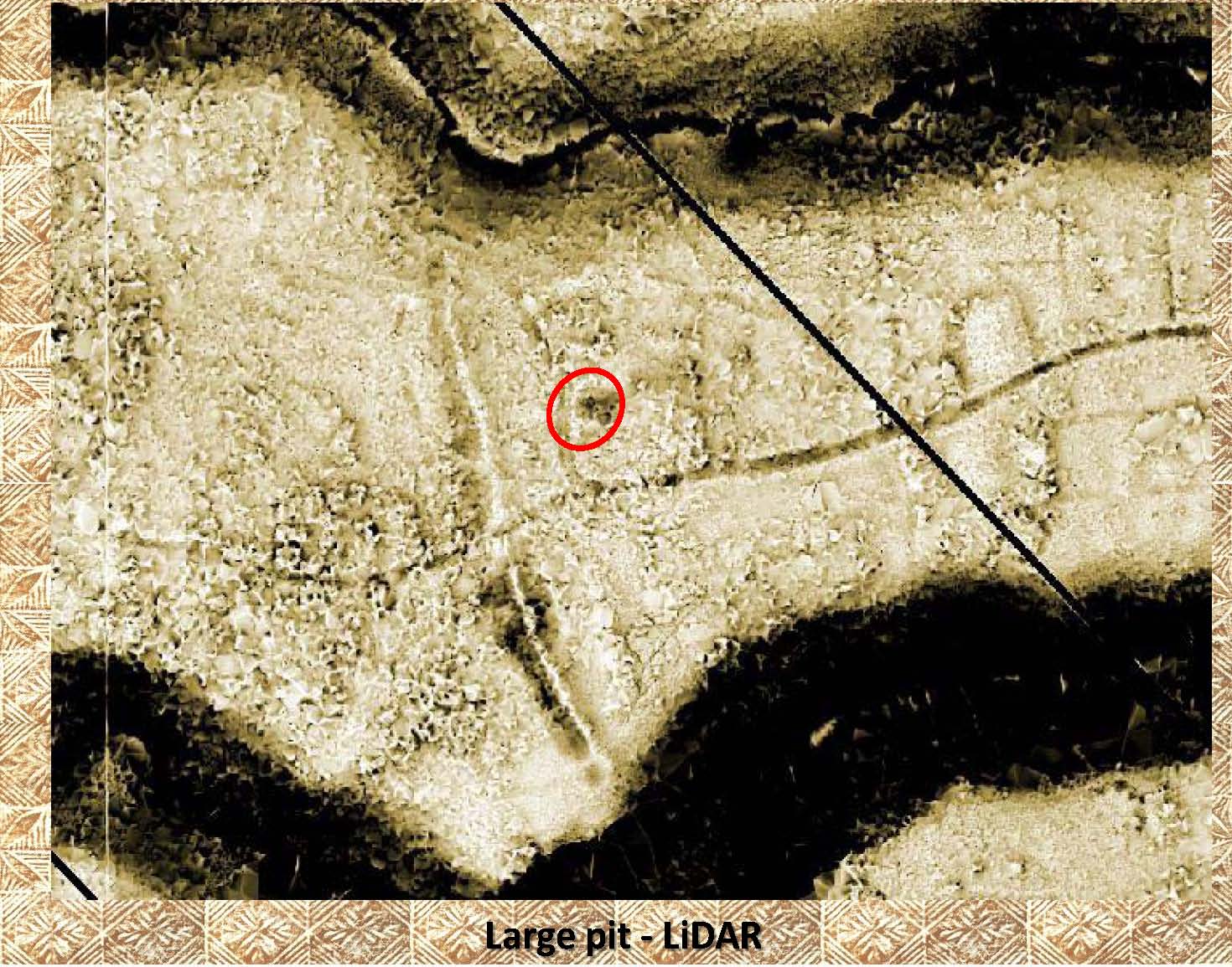 |
In this LiDAR image of the same area as above you can easily make out the dark area which is indicative of a pit or hole. It has been highlighted. |
|
|
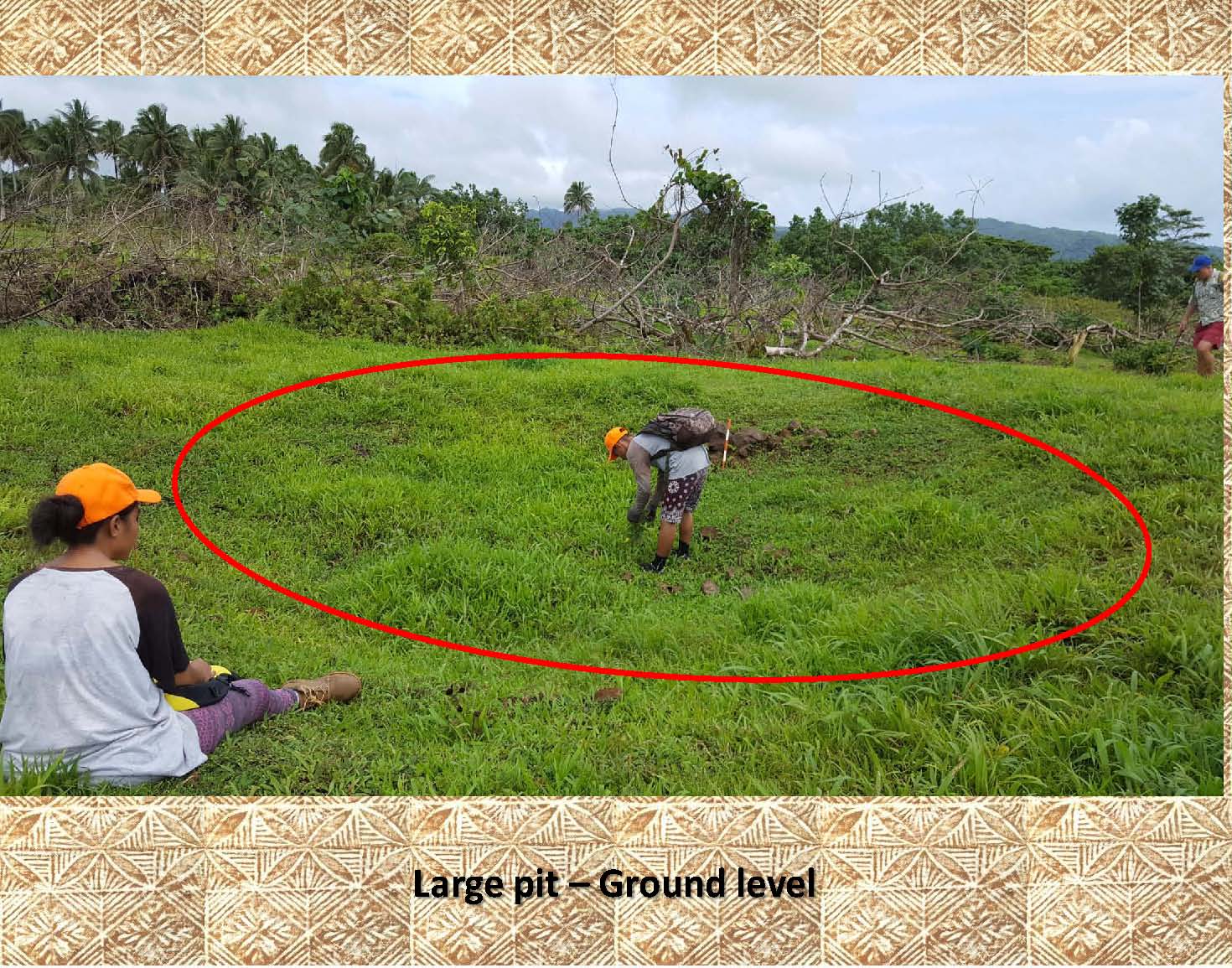
Here is another large circular pit over a meter deep and 6 meters wide. It shows no sign of a raised rim or any fire heated rock (both indicative of an earth oven). |
|
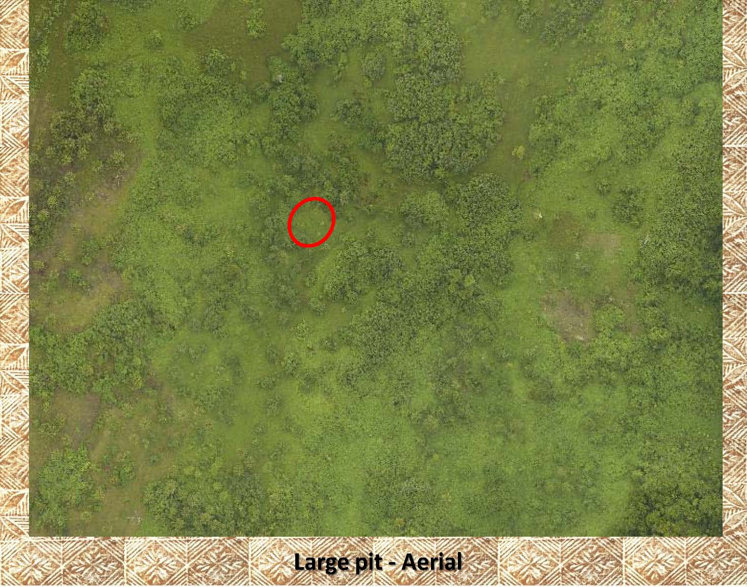 |
This is the above pit in an aerial photo. It is difficult to see and has been highlighted. |
|
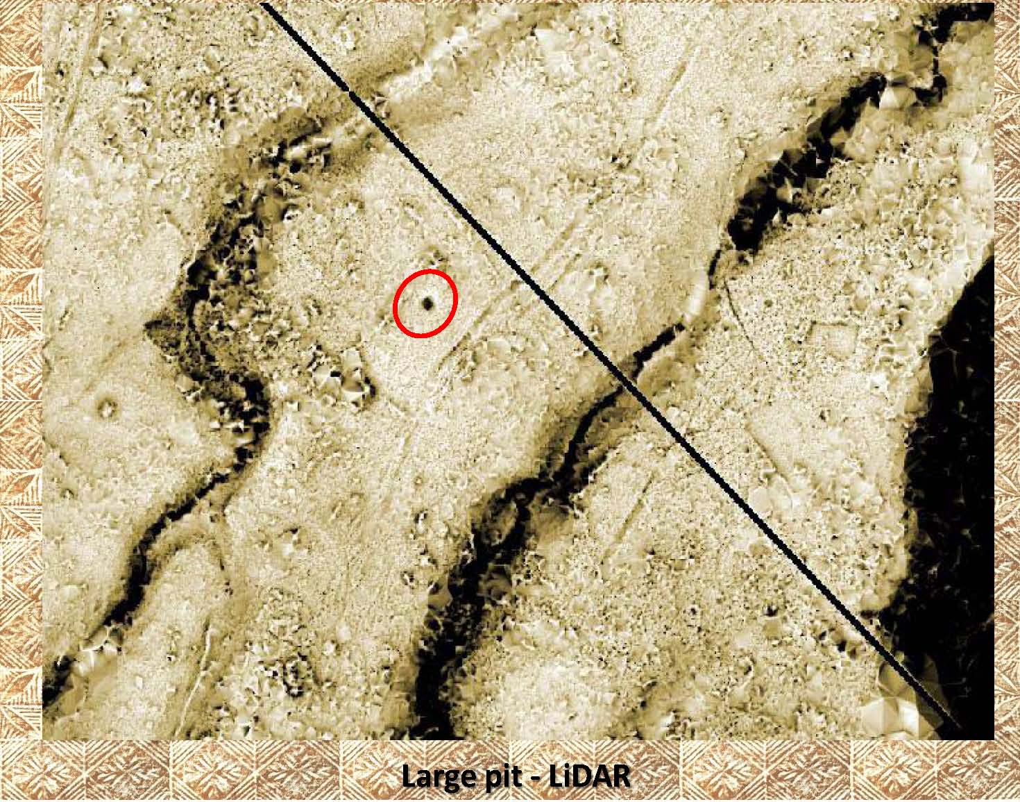 |
In this LiDAR image it is easy to pick out the dark circular object which is indicative of a deep pit or hole. It has been highlighted in red. |
|
|
References: Additional information about drainage channels, ditches, can be found in the following publication: Green and Davidson (1969) Archaeology in Western Samoa, Volume 1, P 121, 205) Cox (1980). Two Samoan techniques for breadfruit and banana preservation. Economic Botany 34:181–185. |