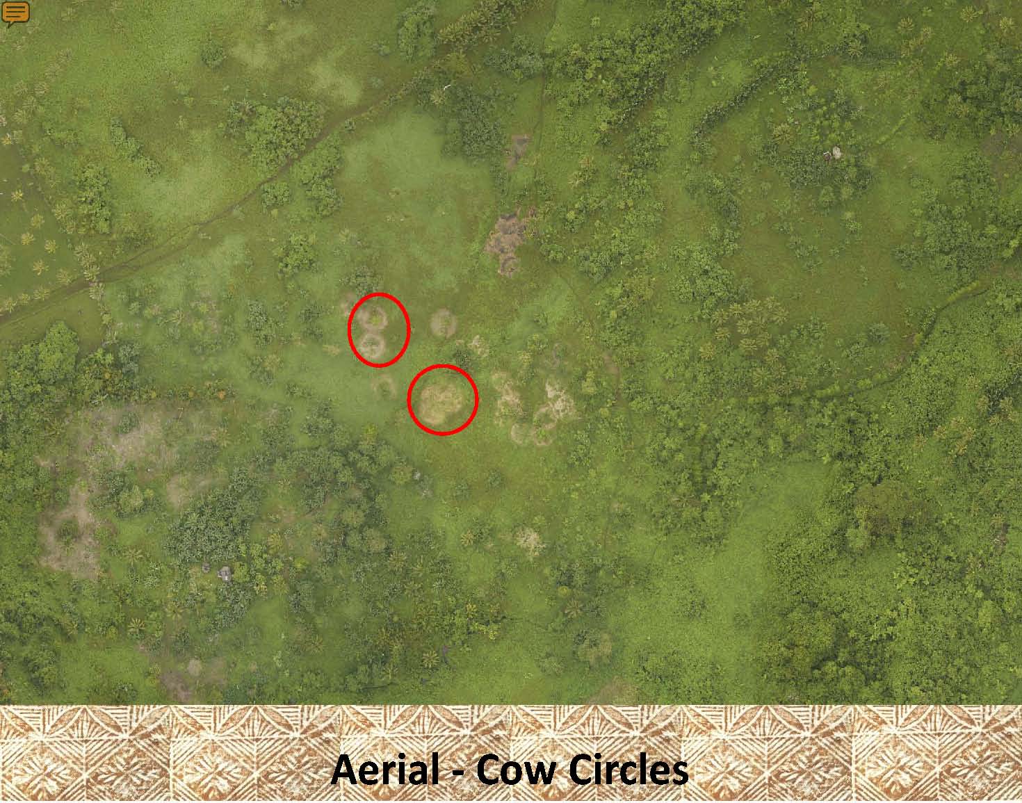
These are non-archaeological features which often show up better on the aerial photos than on LiDAR images. It is important to recognize these features to eliminate false positives when looking for ancient archaeological features. This is why it is important to reference the aerial photos when looking for ancient archaeological features. In the following photos we have tried to make the reader familiar with what these modern features look like on LiDAR and in aerial photos. |
|
Cow circles, these are circles that are made when cows or horses are tethered (staked out on a rope) in the plantation. These can be easily confused with platforms but usually have a distinctive circular shape which is uncommon for platforms (see the tutorial on platforms for more information). |
|
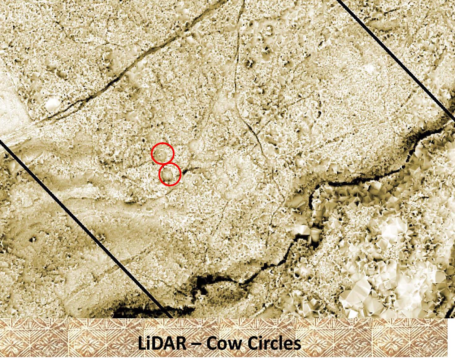 |
This is a LiDAR image covering the same area as the aerial photo above. |
|
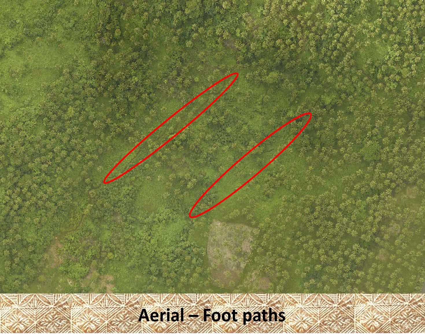 |
The thin gray lines inside each of the red ellipses in the aerial photo on the left is an example of a modern “foot path” or trail made by villagers walking repeatedly along the same path within the plantation. They are very difficult to see in the aerial photo. |
|
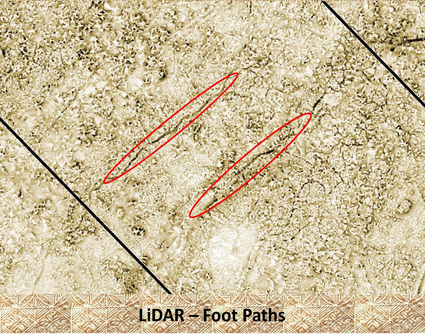 |
In contrast to the aerial photo above foot paths are easily observable on LiDAR images. Note the, dark lines within the red ellipses of this image. Other paths are also noticeable with in the area. |
|
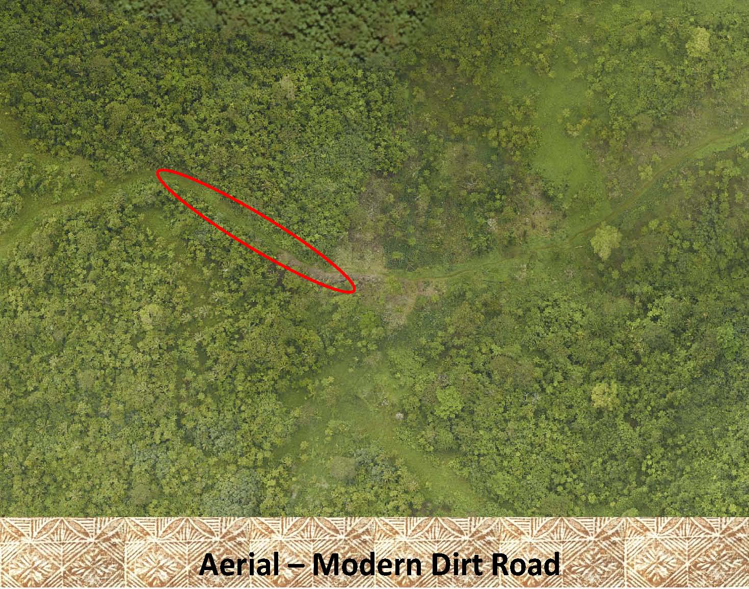 |
This is an example of a portion of a modern dirt road as observed on an aerial photo. You can see that it is the similar to the foot path above only much larger in size. |
|
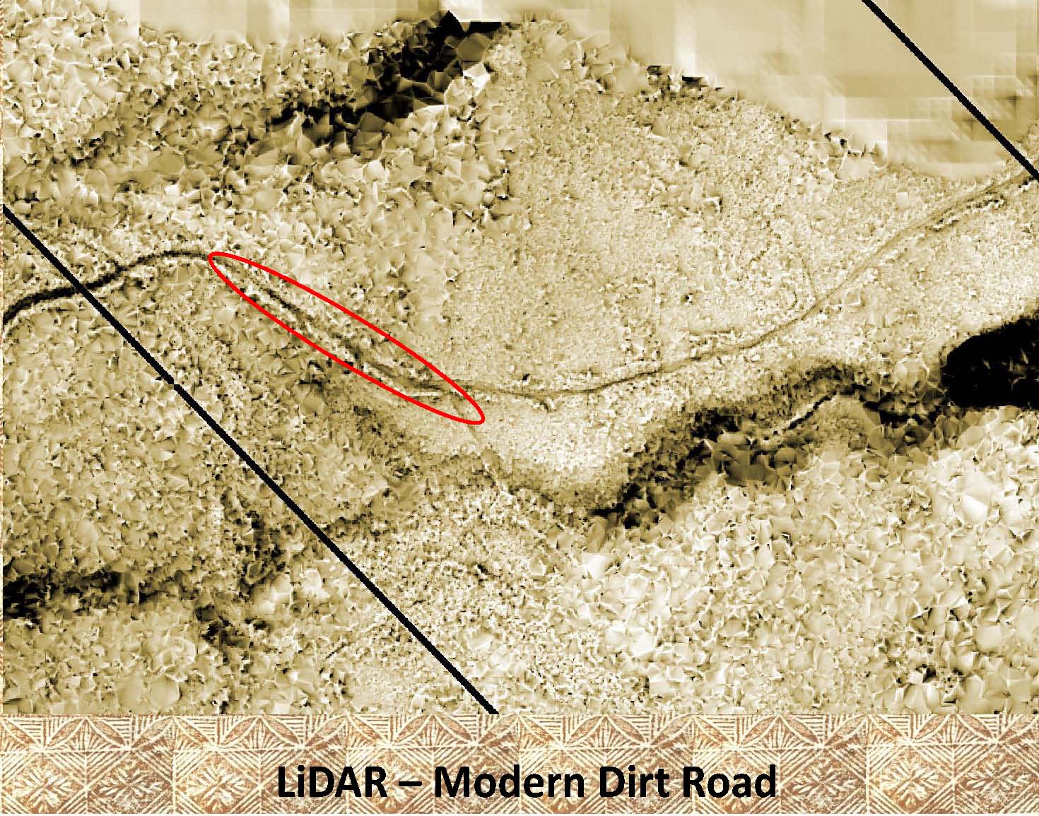 |
Again, on the LiDAR, as with the foot path, the modern dirt road is easily visible. |
|
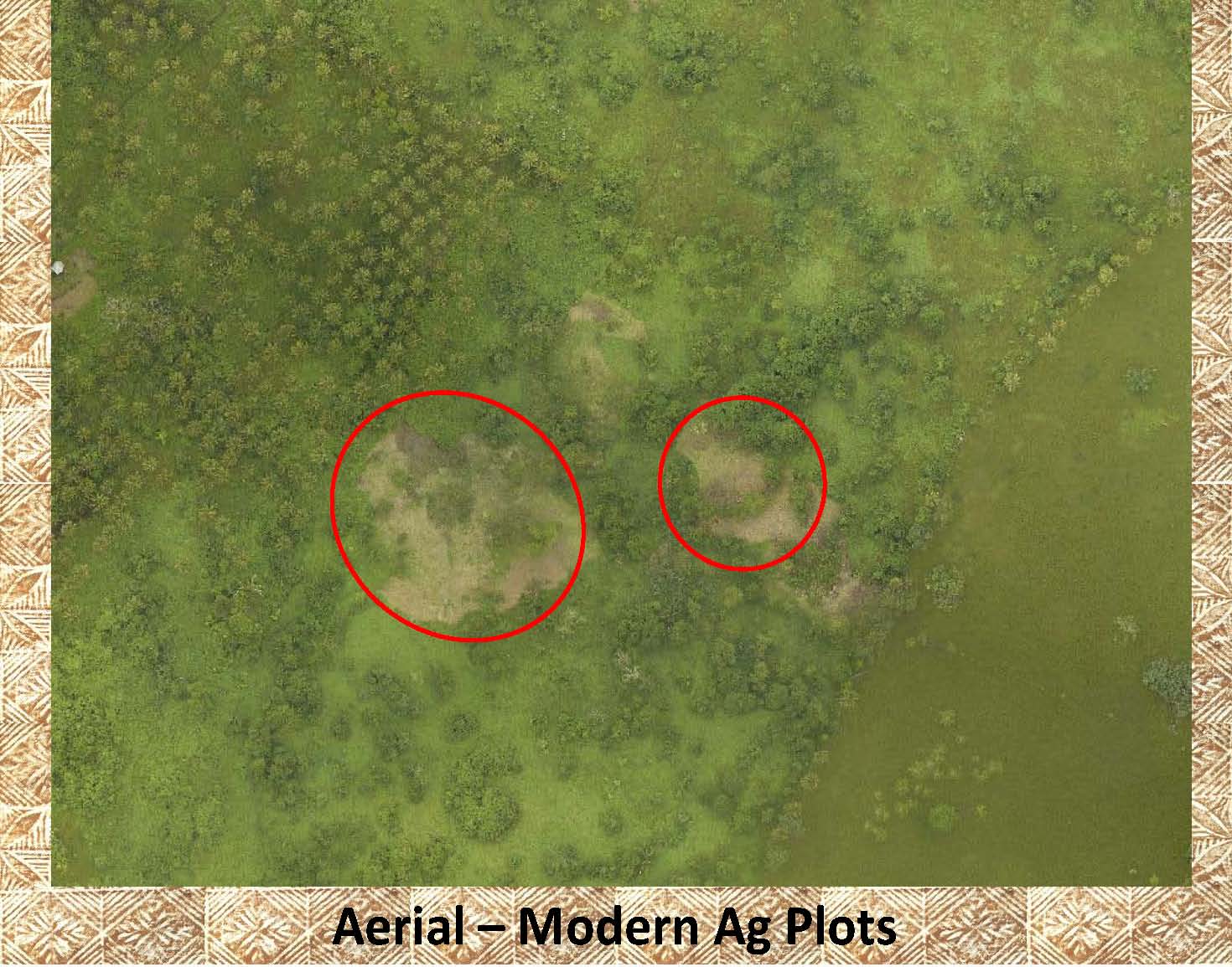 |
These are examples of agricultural plots that have been recently cleared for planting, as seen on this aerial photo. They are similar to the “Cow Circles” mentioned above but usually much larger and very irregular in shape. |
|
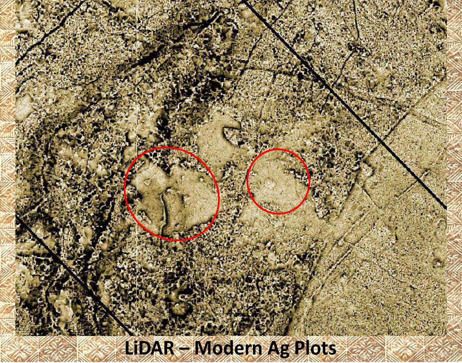 |
This is the same area as above of agricultural plots (circled in red) as seen on LiDAR. |
|
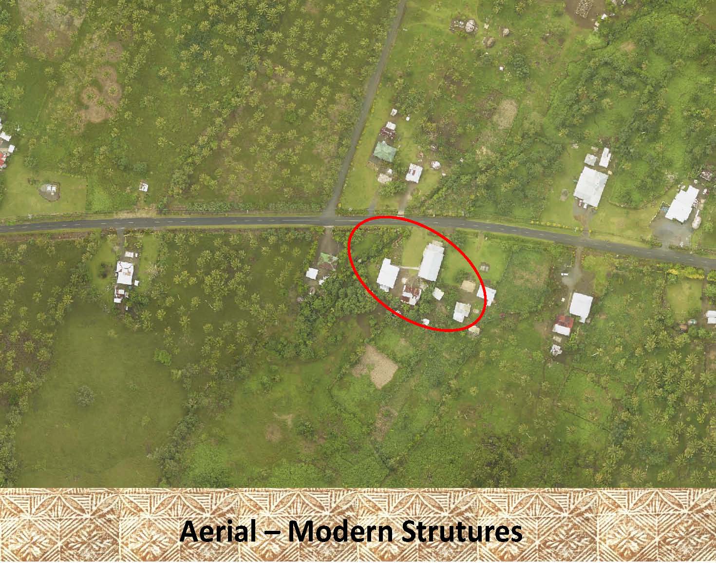 |
Circled in red on this aerial photo are some examples of modern structures (buildings). |
|
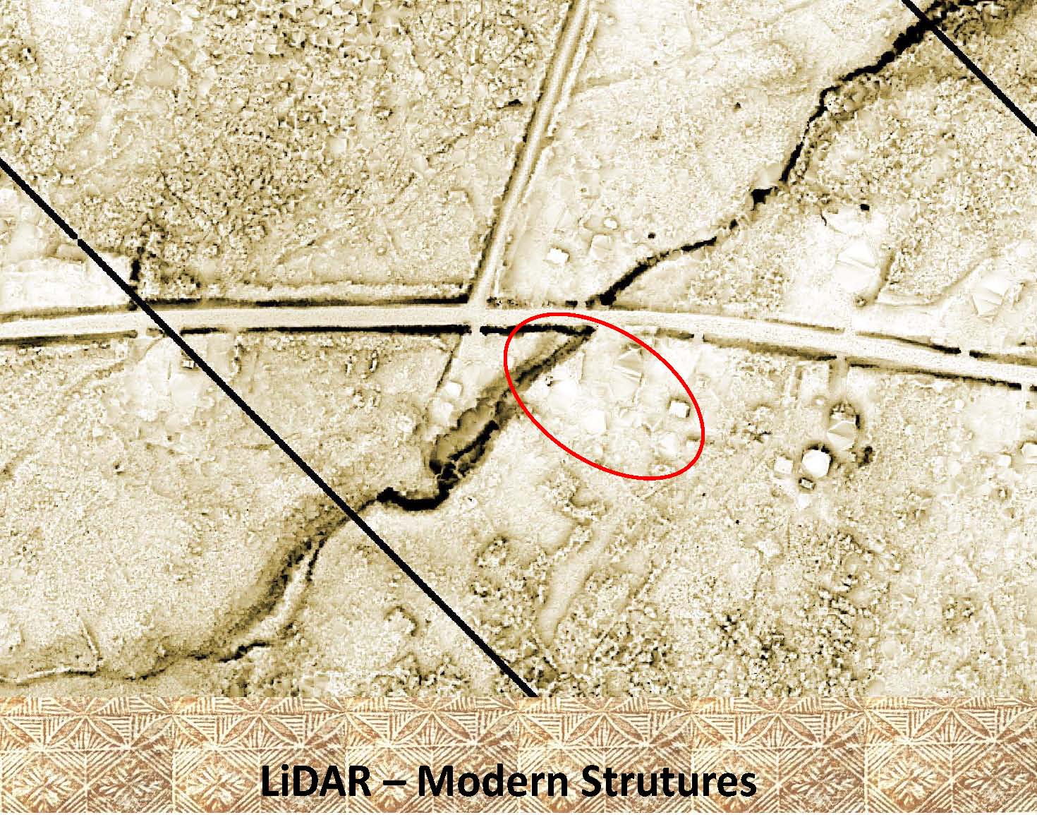 |
This is how modern structures appear on LiDAR. |
|
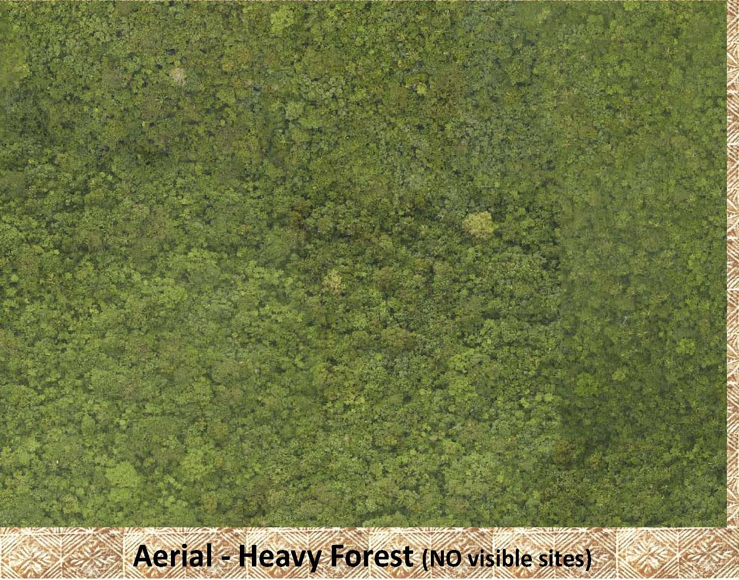 |
This aerial photo shows an example of the heavy forest that still exists in many areas of Samoa. |
|
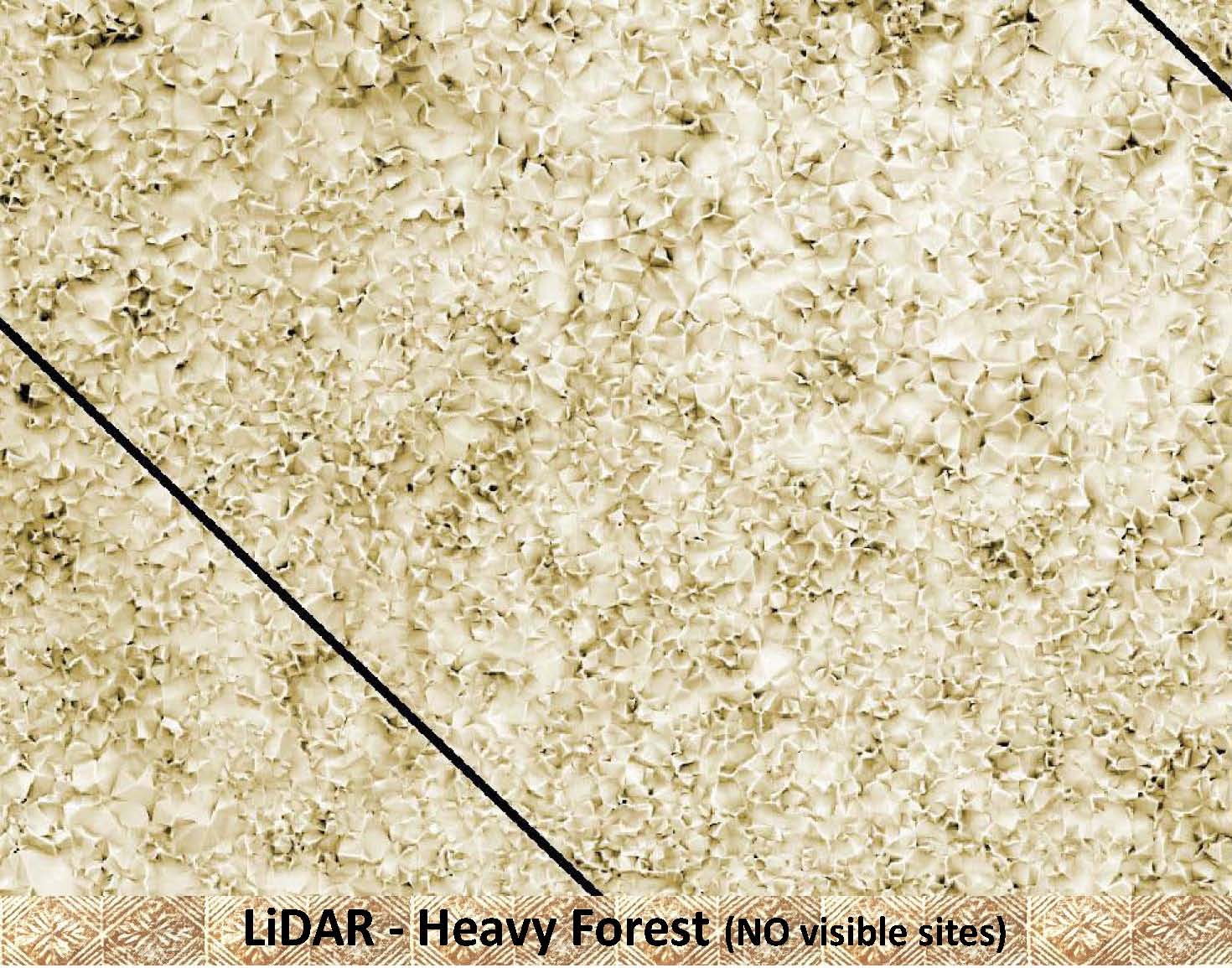 |
This is a LiDAR image of the same deep forest area as shown in the aerial photo above. Because of the dense vegetation there are NO archaeological (or modern) features visible. |
|
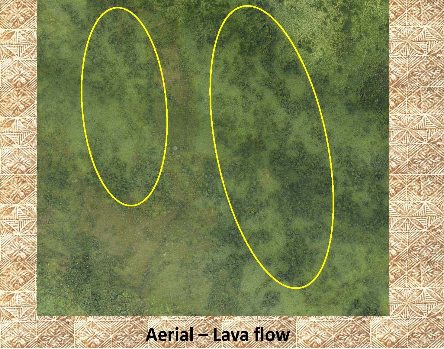 |
The yellow ellipses in the photo on the left mark large lava flows, but they are barely visible on the aerial photo. |
|
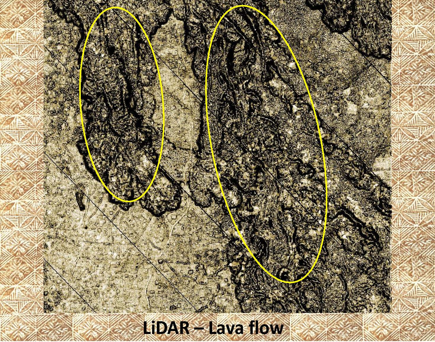 |
Contrast the aerial photo above with the LiDAR image to the left. The lava flows (as marked by the yellow ellipses) are easily visible. | |
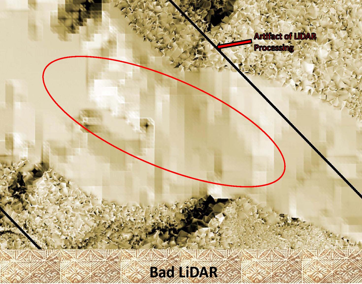 |
The pixilated area (marked with the red ellipse) in the LiDAR image on the left is an example of ”bad LiDAR”. This was caused by the inability of the laser pulses (used to acquire the LiDAR data) to penetrate the dense cloud cover at the time the data was acquired. The black line is “an artifact” of the program used to make the DEMs used in the rendering process. |
|
|
|