Drainage Channels, or ditches, are manmade features that drain excess water from the land. Channels range in width from less than half a meter to several meters and in depth from a few tens of centimeters to a meter or more. They seem to be formed by excavating earth from the center of the channel or ditch and or its sides and placing it on one or both of the edges forming raised banks or berms. The sides are often gently sloping, not vertical, and are completely covered with vegetation, this may be an artifact of time and not indicative of their original construction. When questioned, local informants said they were used to help drain the muddy soil for garden plots; this seemed to be borne out by our observations during any of the numerous local rain storms. They are obviously man made or modified, although some may have originally been natural water courses or intermittent streams at one time. All or most seem to have modified raised sides on one or both sides, topped in some places with small stones that may have formed a walkway or path (elevated walkway). Many channels also intersect at right angles. Some also run perpendicular to existing streams and parallel to contour lines across the ridges between streams. For a more complete description see the References at the end of this tutorial. In the following photos we have tried to make the reader familiar with what these drainage channels look like not only on LiDAR, but also at ground level and in aerial photos. |
|
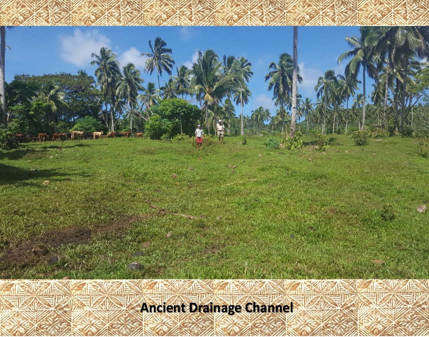
This is an example of a wide, shallow channel as seen on gently sloping ground at ground level (it is outlined in the next photo) |
|
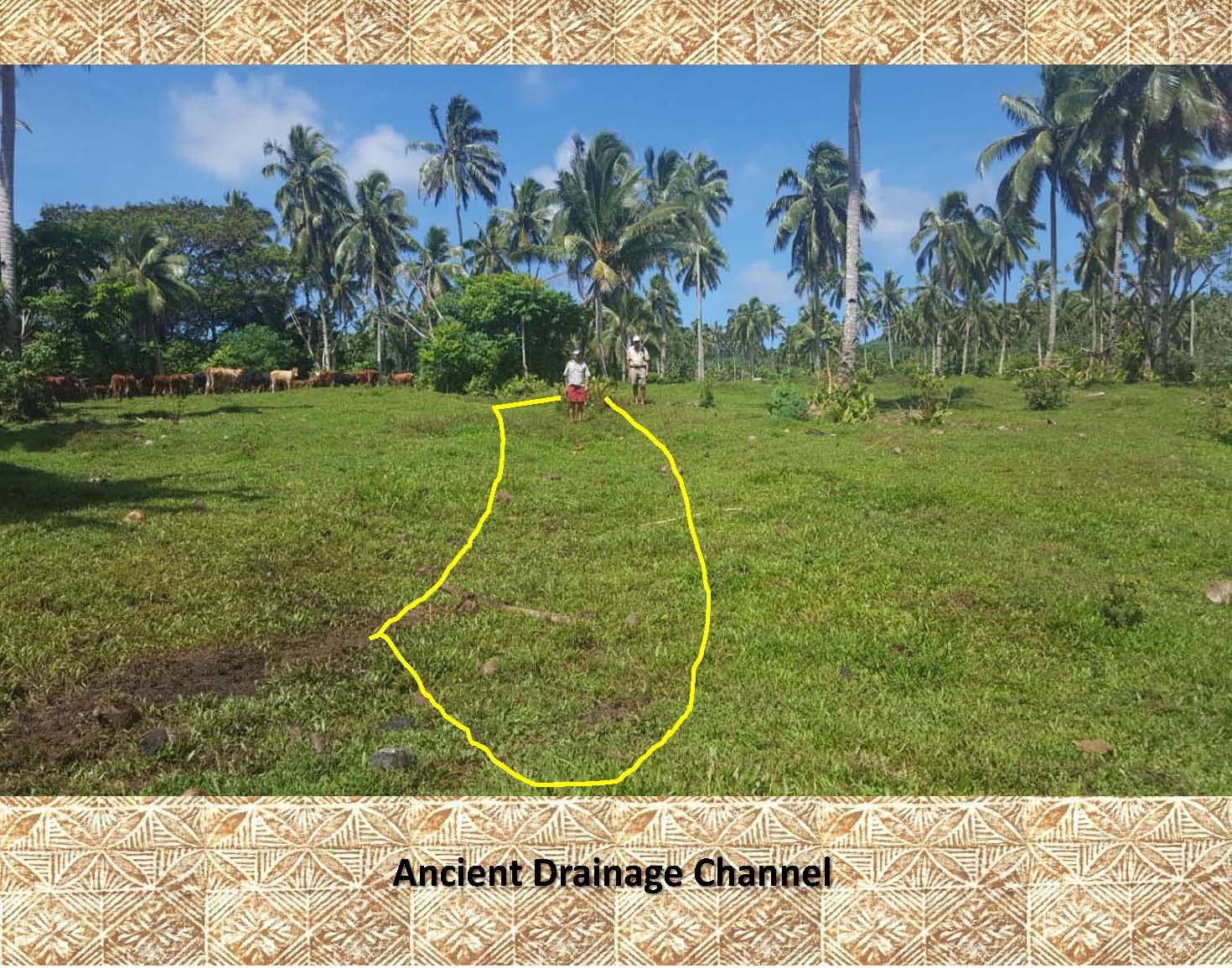 |
In this photo the wide, shallow channel has been outlined as it is difficult to pick out in the previous photo. |
|
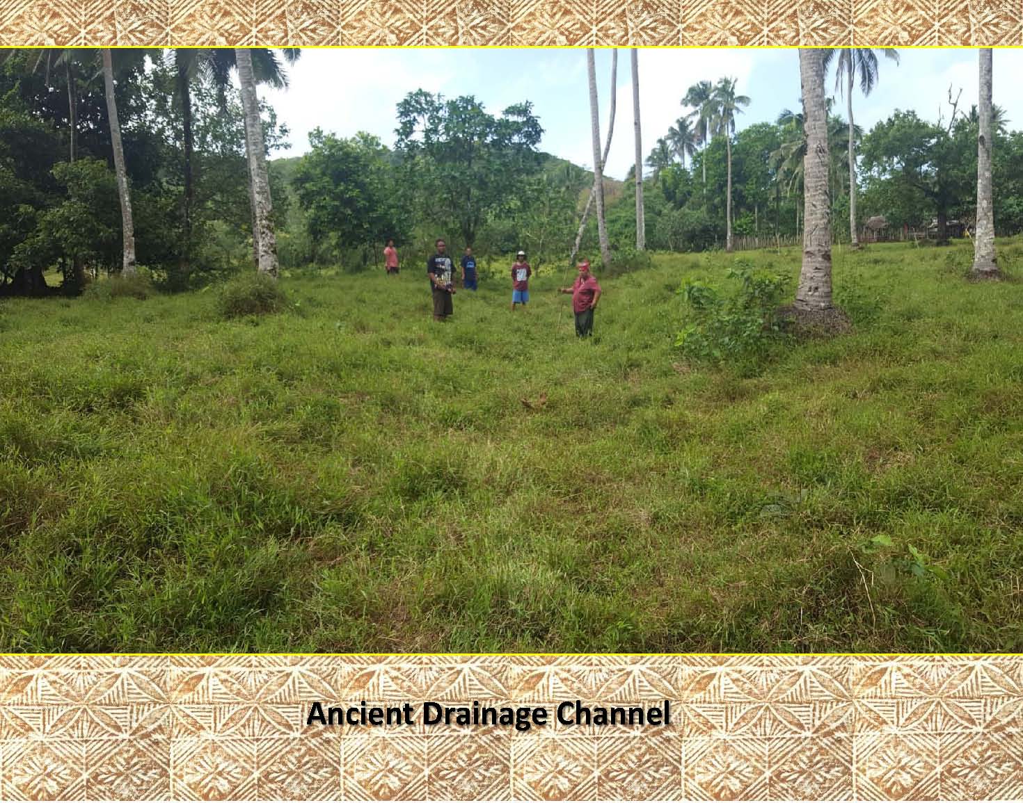 |
This is an example of a larger, deeper channel as seen on flatter ground at ground level (it is outlined in the next photo). |
|
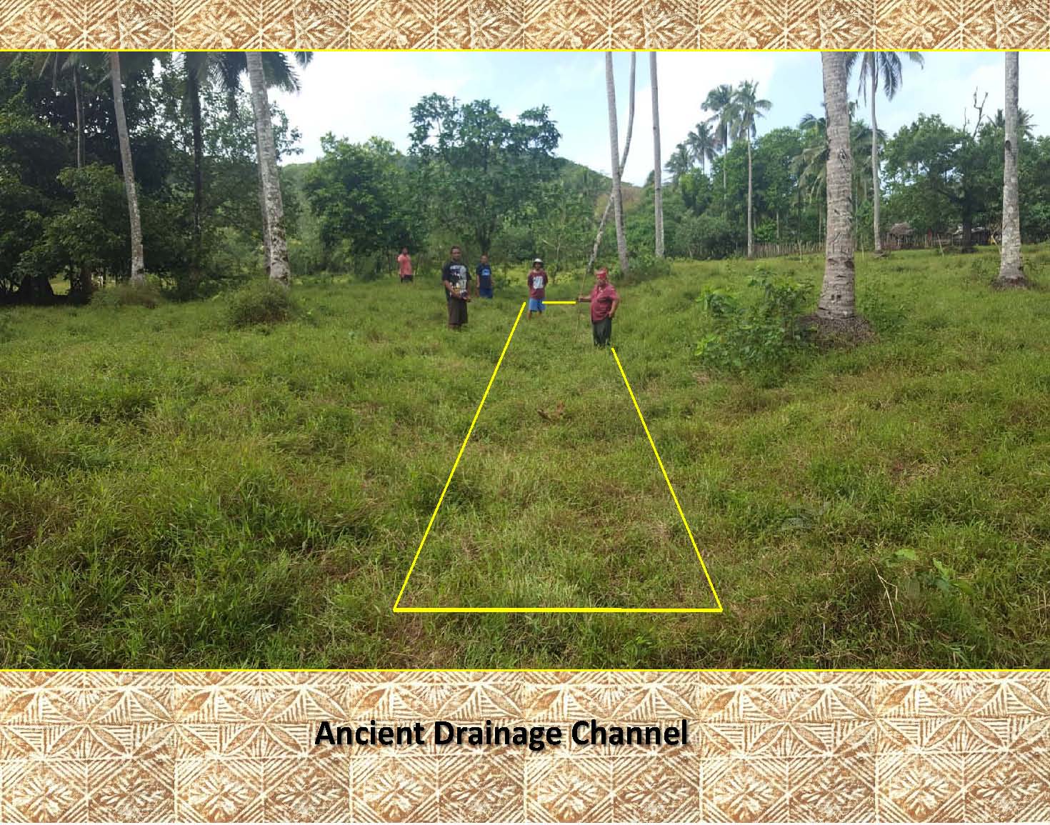 |
In this photo the channel has been outlined. It is easier to pick out than the previous channel as it is much wider and deeper. Notice the spacial relationships between the channel and the people in the picture. |
|
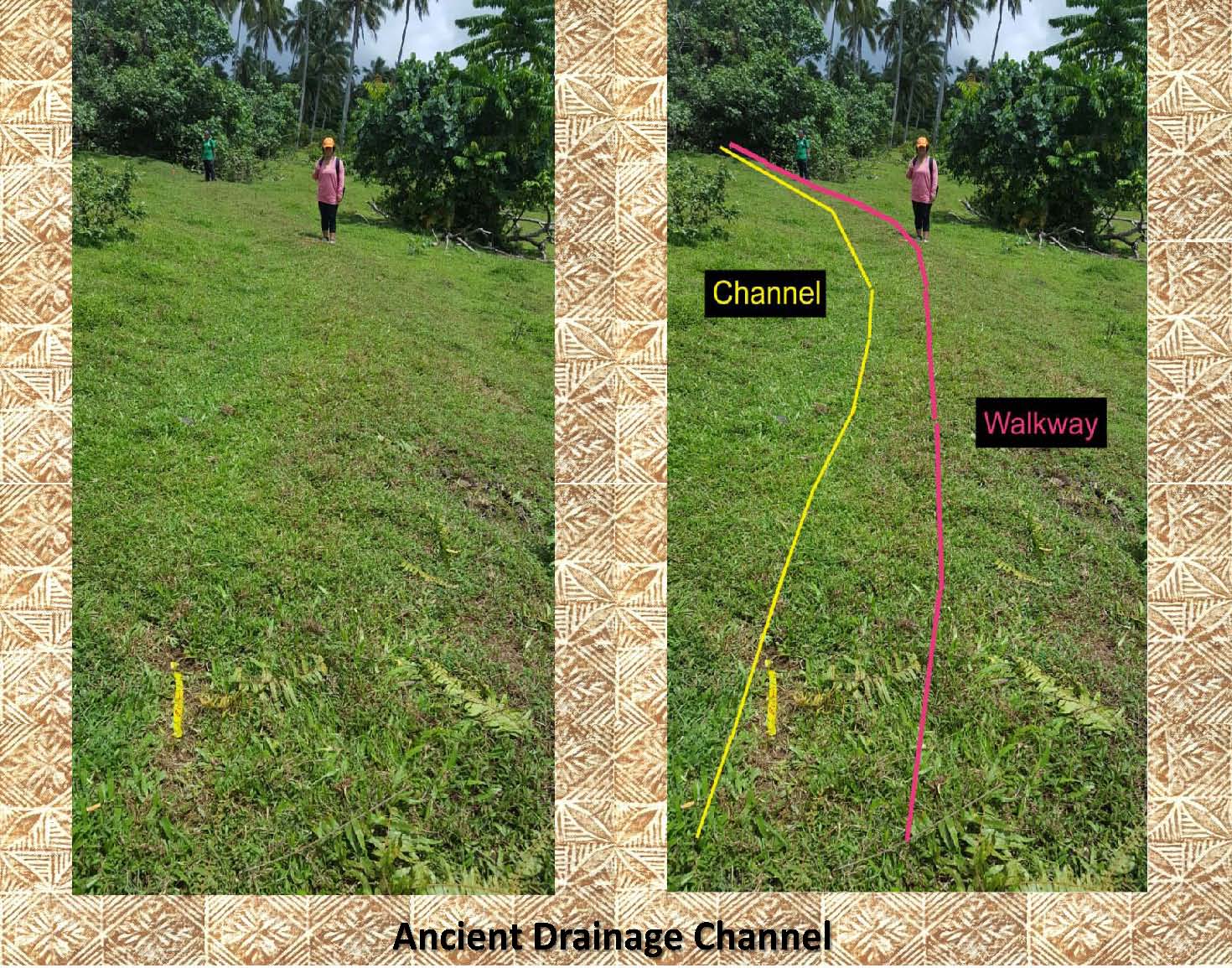 |
Here is an example of a smaller channel with an associated elevated walkway along its downhill side. This channel also acts as a barrier to divert water away from the downhill slope. The channel and elevated walkway are difficult to see and in the photo on the left. The photo on the right has been marked to highlilght the channel (yellow) and the elevated walkway (red). |
|
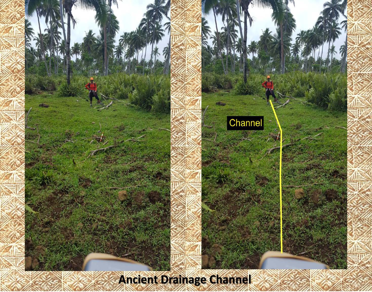 |
This is another example of a drainage channel. The photo on the right, again, has been marked to show the approximate location of the channel. |
|
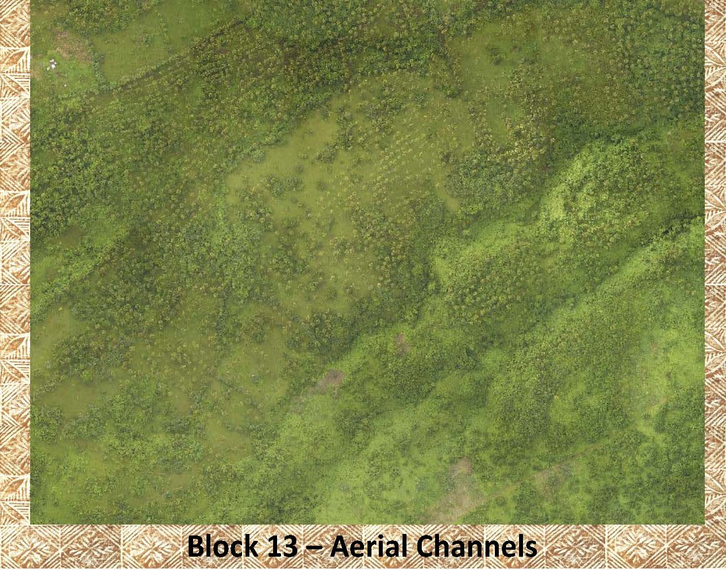 |
This is an areal photo of the area where the above photos were taken. It is very difficult to make out the channels seen at ground level. |
|
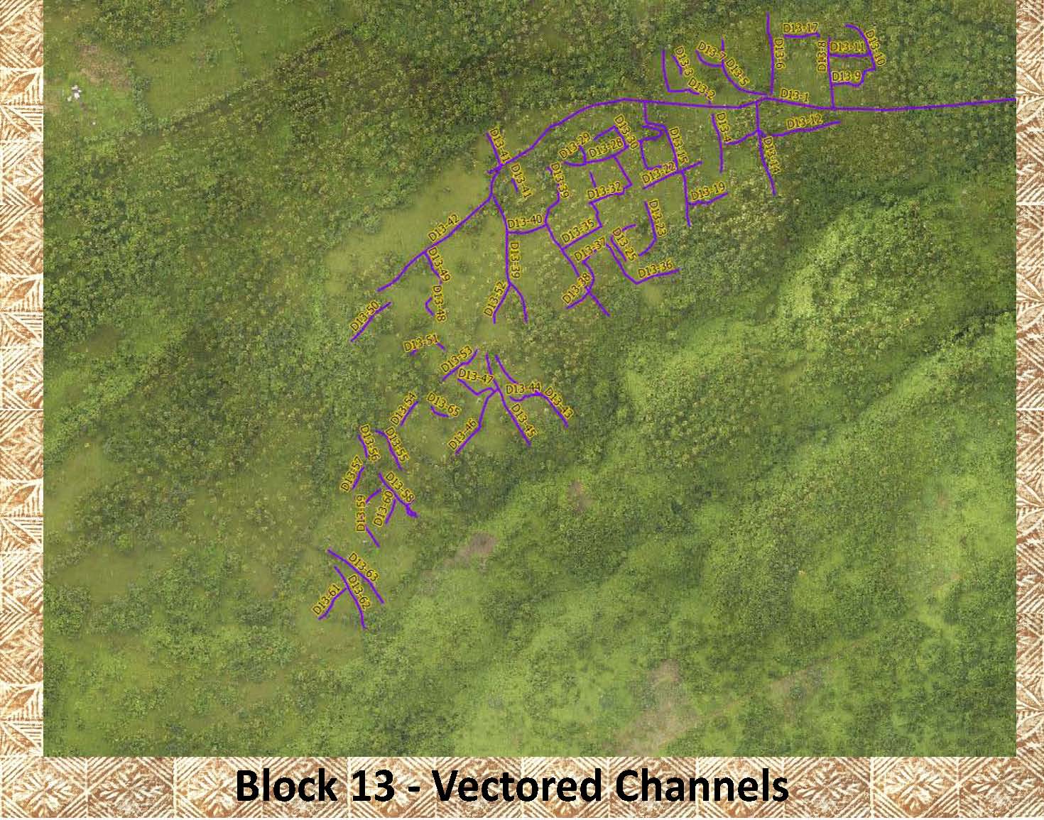 |
This is the same photo as above with the channels marked (vectored). This was made possible by the use of the LiDAR images as can be seem in the following photos. |
|
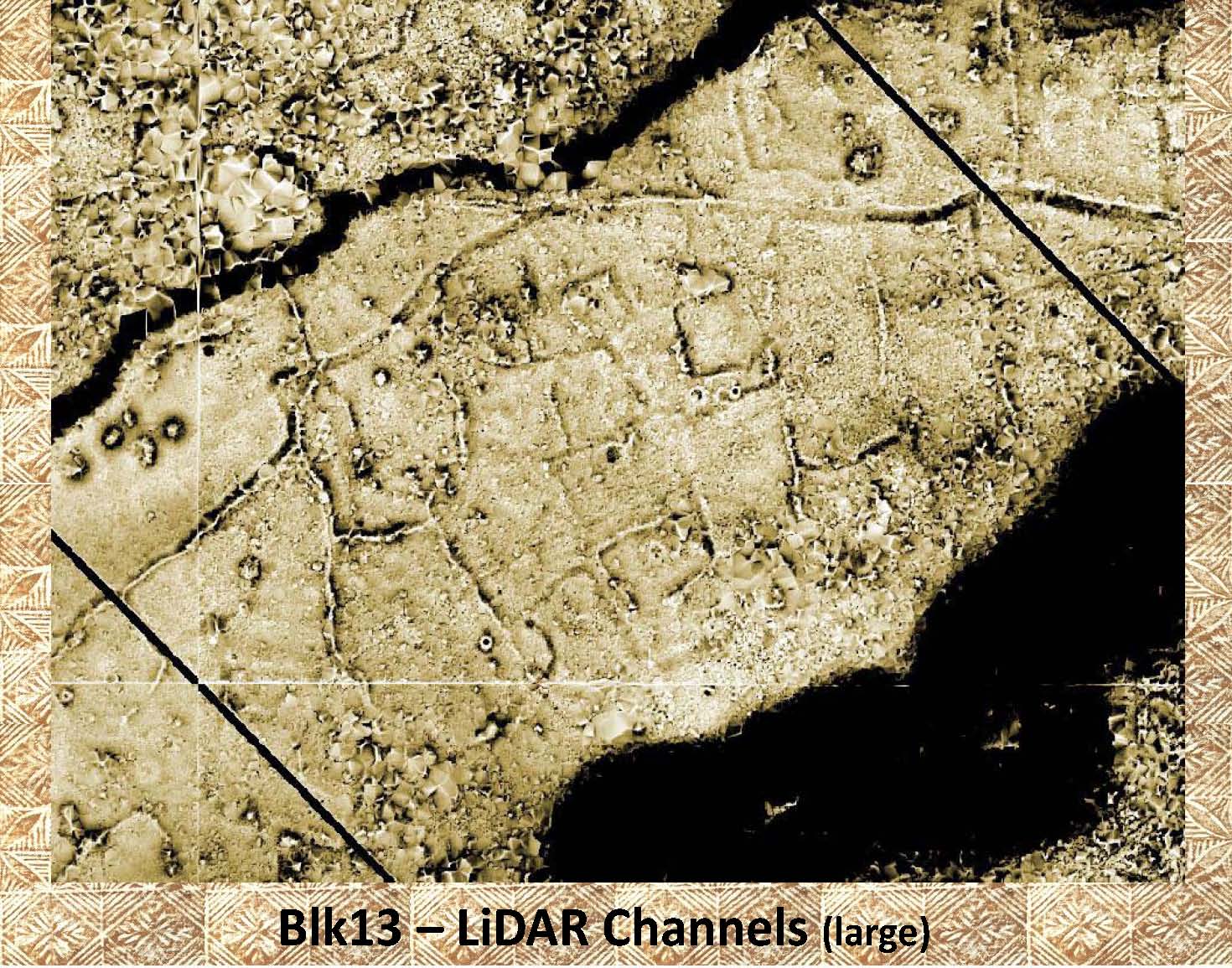 |
This is a LiDAR image showing channels. The channels appear as dark and light lines that strech across the photo. The channels are vectored in (marked by drawing lines over them) in the next photo. |
|
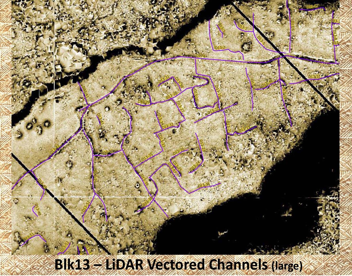 |
Note the channels from the above LiDAR image now vectored (marked by drawing lines over them). |
|
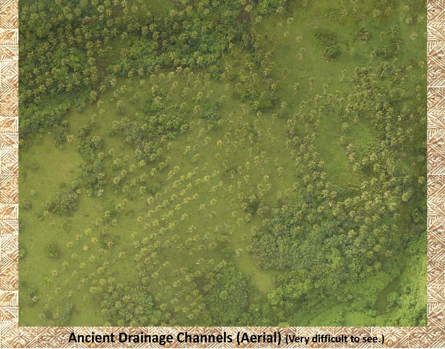 |
This is an enlarged section of the areal photo shown above. We will use it to visualize a large channel that transects the entire image. Its location is marked in the next slide. |
|
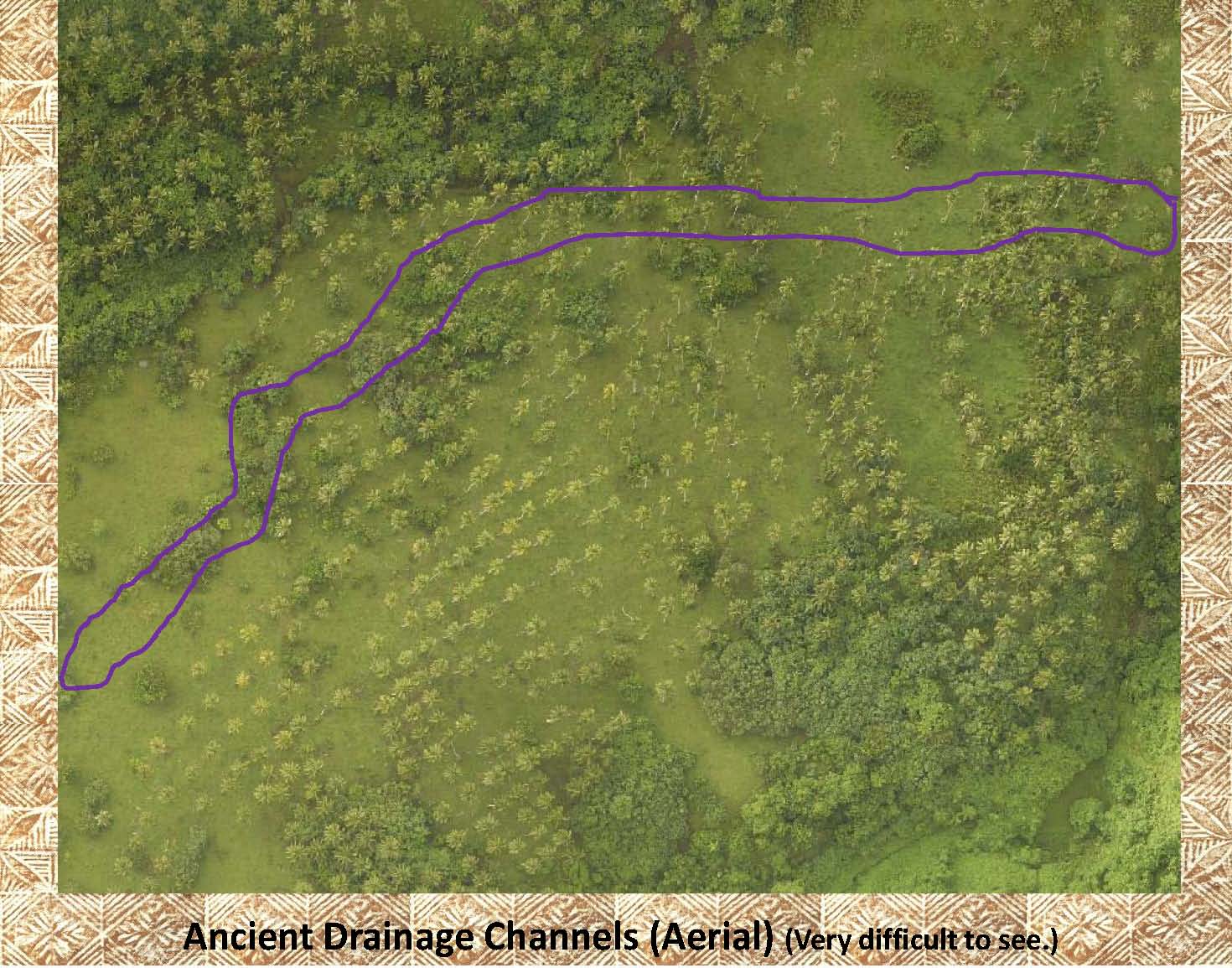 |
Even when this channel is outlined (purple) it is difficult to see in this aerial photo. |
|
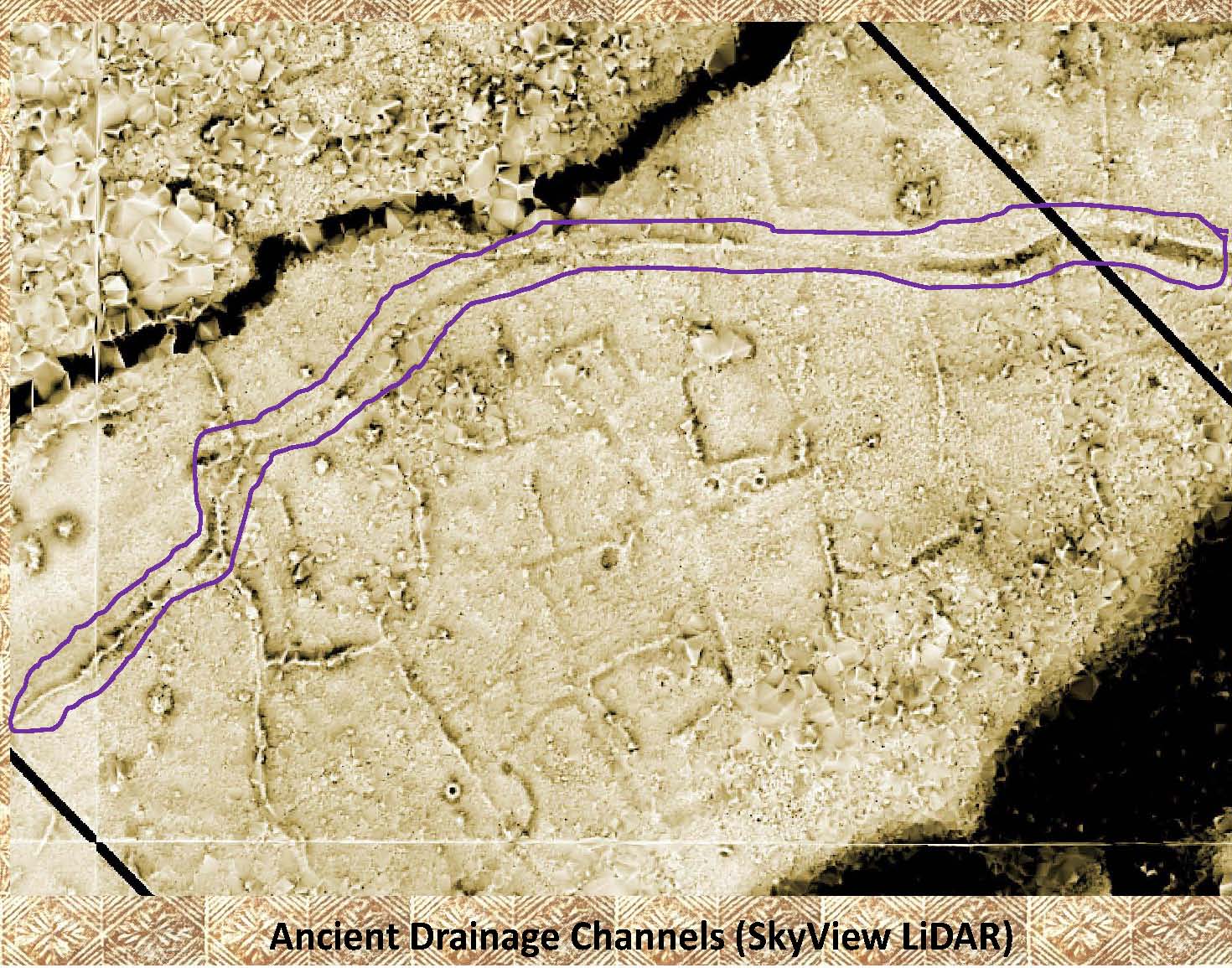 |
But the light and dark areas of the same channel can easily be seen with the help of the LiDAR image. |
|
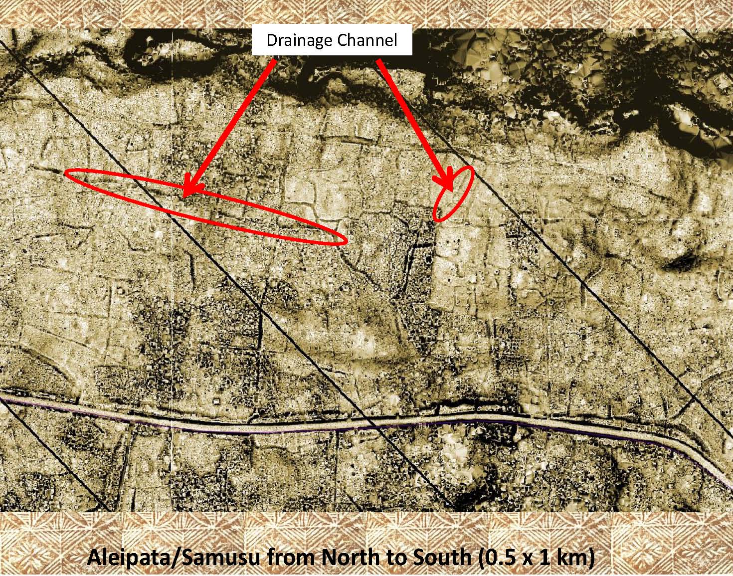 |
At the left is another area that has not yet been gound surveyed. Note the numerous channels covering the entire surface of this 0.5 by 1 km LiDAR image. Only 2 of the channels have been marked. |
|
|
References: Additional information about drainage channels, ditches, can be found in the following publication: Green and Davidson (1974) Archaeology in Western Samoa, Volume 2, P 157 Jackmond, etal (2019) Did Samoa have intensive agriculture in the past? New findings from LiDAR. Quintus, etal (2017) Pre-Contact Samoan Cultivation Practices in Regional and Theoretical Perspective |