[In conjunction with the US Embassy]
Samoan Heritage Project/AFCP
| Samoan Heritage Project |
Publications and Presentations |
LiDAR Map Server |
Academic Research - ArcMAP |
Academic Research - QGIS 3D |
Quick Tour Map |
Archaeological Survey Data:
QGIS 3d Format
[Survey Maps Created with QGIS using Qgis2threejs plugin:
viewable in Web Browser - Java required]
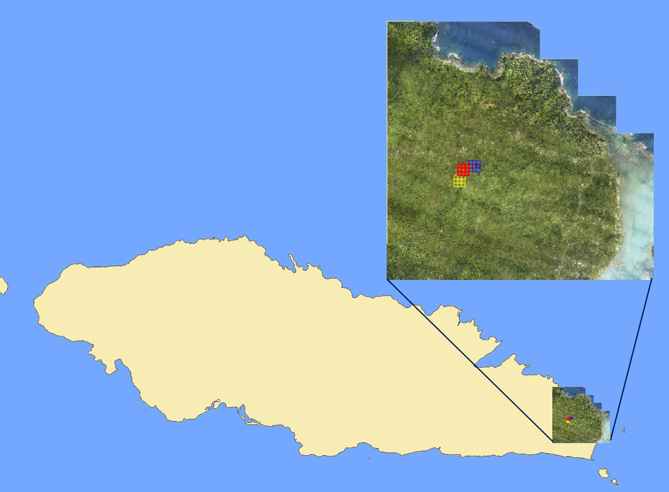 [To manipulate 3d images see "Help" on 3d map page.] {Dark lines and cuts on maps are an artifact of LAStools} |
Samusu Survey Area |
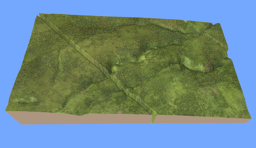 Aerial
[Last updated: 31 Dec 17] |
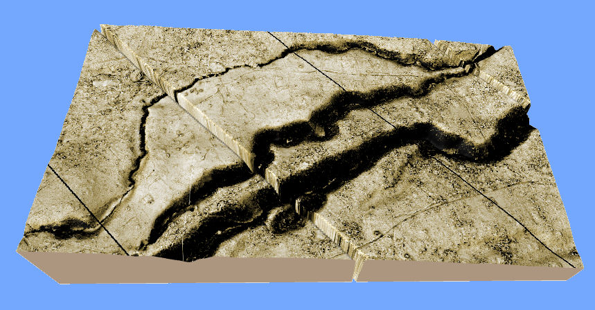 LiDAR
LiDAR[Last updated: 31 Dec 17] |
Samusu Survey Vectored Channels [Sept. 2017] |
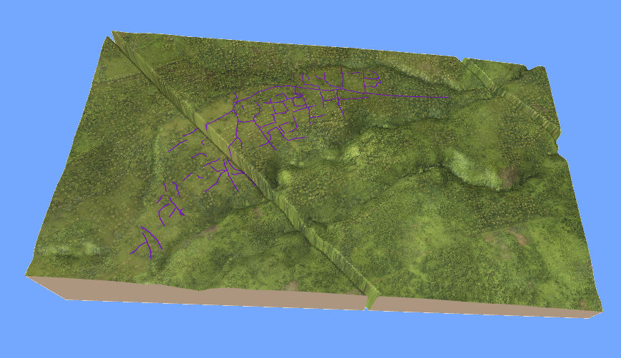 Aerial
[Last updated: 31 Dec 17] |
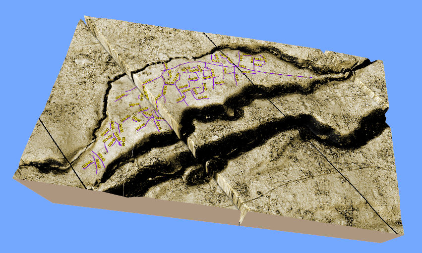 LiDAR
LiDAR[Last updated: 31 Dec 17] |
Samusu Survey Vectored Channels w/ (300m)2 Grids [Sept. 2017] |
 Aerial
[Last updated: 31 Dec 17] |
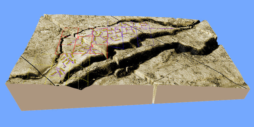 LiDAR
LiDAR[Last updated: 31 Dec 17] |
Samusu Survey Recorded Sites [Sept. 2017] |
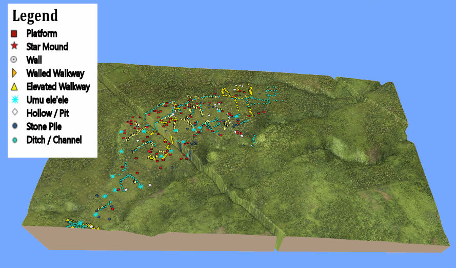 Aerial
[Last updated: 31 Dec 17] |
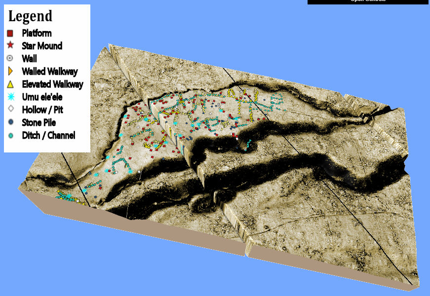 LiDAR
LiDAR |
Samusu Survey Recorded Sites w/ (300m)2 Grids [Sept. 2017] |
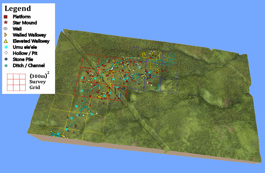 Aerial
[Last updated: 31 Dec 17] |
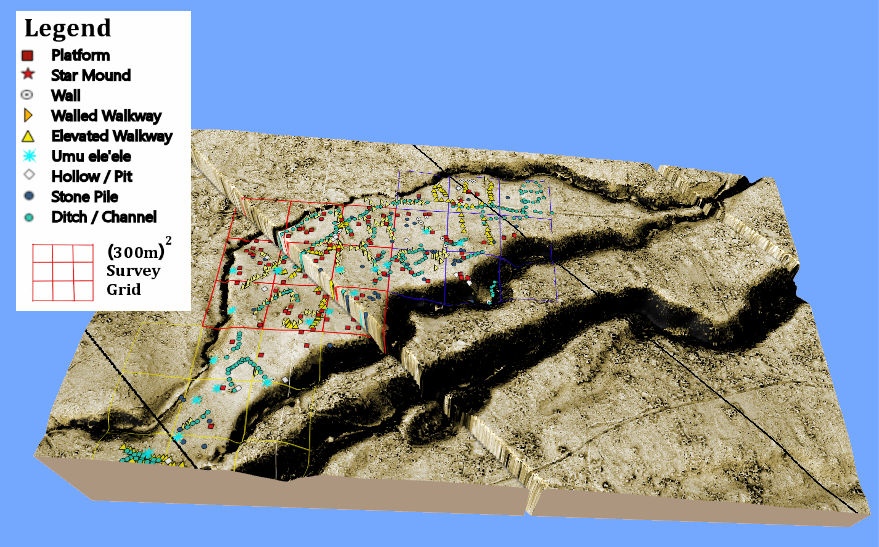 LiDAR
LiDAR[Last updated: 31 Dec 17] |
|
Make sure to check for updates and additions for the latest information (see "Last Updated" date under each link). Comments and/or suggestions can be sent to: g.jackmond@nus.edu.ws |